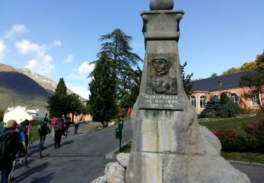
11.4 km | 17.5 km-effort
La Grande Fache
mitch1952
User
Length
27 km
Max alt
2940 m
Uphill gradient
1598 m
Km-Effort
48 km
Min alt
1467 m
Downhill gradient
1596 m
Boucle
Yes
Creation date :
2021-02-20 16:01:14.858
Updated on :
2022-06-08 09:14:35.839
10h58
Difficulty : Very difficult
FREE GPS app for hiking
About
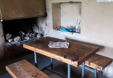
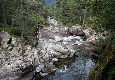
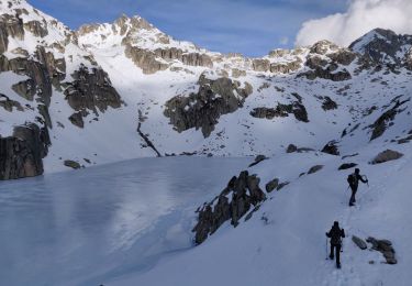
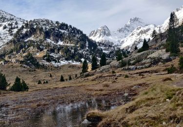
Trail Walking of 27 km to be discovered at Occitania, Hautespyrenees, Cauterets. This trail is proposed by mitch1952.
Description
Hors règlement intérieur LPC , réalisé le même jour , marche d' approche de nuit , condition physique exceptionnelle exigée
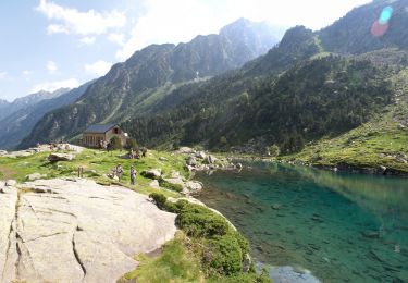
Positioning
Country:
France
Region :
Occitania
Department/Province :
Hautespyrenees
Municipality :
Cauterets
Location:
Unknown
Start:(Dec)
Start:(UTM)
733953 ; 4748337 (30T) N.
Comments
Trails nearby
promenade Russell
Walking
Very easy
(1)
Cauterets,
Occitania,
Hautespyrenees,
France
11.9 km | 21 km-effort
5h 46min
Yes
Chemin des cascades
Walking
Easy
(1)
Cauterets,
Occitania,
Hautespyrenees,
France
8 km | 12.6 km-effort
2h 30min
No
2023-01-01 Marche Refuge Wallon vers Pont Espagne
Walking
Medium
Cauterets,
Occitania,
Hautespyrenees,
France
18.8 km | 31 km-effort
7h 18min
No
2022-12-31 Marche Refuge du Clot vers Refuge Wallon
Walking
Difficult
Cauterets,
Occitania,
Hautespyrenees,
France
17.3 km | 34 km-effort
7h 46min
No
CAUTERETS Le chemin des pères G3 le 14/10/2022 "3423761"
Walking
Medium
Cauterets,
Occitania,
Hautespyrenees,
France
9.4 km | 15.3 km-effort
3h 5min
Yes
Pic d'Estibe Aute
Walking
Very difficult
(1)
Cauterets,
Occitania,
Hautespyrenees,
France
17.2 km | 36 km-effort
7h 0min
Yes
65-Lac_Bleu_ ILHEOU_12Km -680m
Walking
Medium
Cauterets,
Occitania,
Hautespyrenees,
France
12.2 km | 21 km-effort
4h 49min
Yes
65-Lac_de_GAUBE (AR)-9Km / 350m
Walking
Medium
Cauterets,
Occitania,
Hautespyrenees,
France
9.4 km | 14.1 km-effort
3h 25min
Yes