


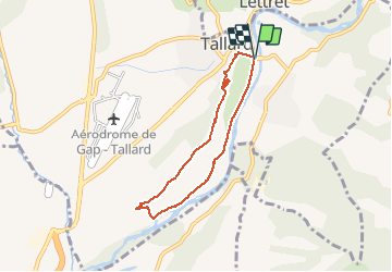


10.9 km | 18.6 km-effort

User


FREE GPS app for hiking
 SityTrail
IGN / Geographical institutes
SityTrail World
The world is yours!
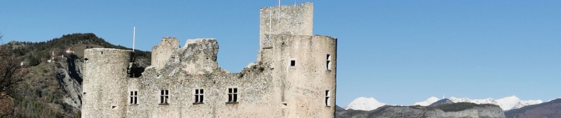
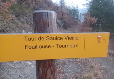
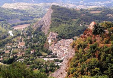
Trail Walking of 6.2 km to be discovered at Provence-Alpes-Côte d'Azur, Hautes-Alpes, Tallard. This trail is proposed by Daniel.BRUN-PICARD.
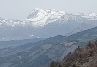
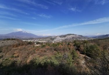
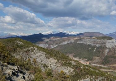
Vues magnifiques tout au long de cette petite randonnée faisable avec des enfants, à condition de faire attention à ce qu'ils ne s'approchent pas trop des à-pics.


Walking

Walking
Walking
Walking
Walking
Walking
Walking

Walking
Walking