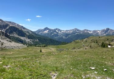
21 km | 35 km-effort
col de la Lombarde
jfdeligementon
User
Length
8.1 km
Max alt
2347 m
Uphill gradient
299 m
Km-Effort
12.1 km
Min alt
2038 m
Downhill gradient
302 m
Boucle
Yes
Creation date :
2021-02-20 08:48:25.788
Updated on :
2021-02-20 08:49:15.007
3h00
Difficulty : Easy
FREE GPS app for hiking
About
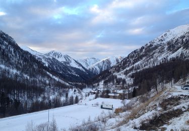
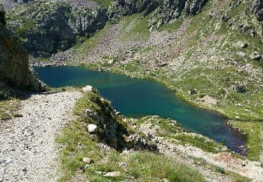
Trail Snowshoes of 8.1 km to be discovered at Provence-Alpes-Côte d'Azur, Maritime Alps, Isola. This trail is proposed by jfdeligementon.
Positioning
Country:
France
Region :
Provence-Alpes-Côte d'Azur
Department/Province :
Maritime Alps
Municipality :
Isola
Location:
Unknown
Start:(Dec)
Start:(UTM)
353100 ; 4893807 (32T) N.
Comments
Trails nearby
Isola 2000 baisse Druos refuge Quesa
Other activity
Very easy
(1)
Isola,
Provence-Alpes-Côte d'Azur,
Maritime Alps,
France
8h 5min
Yes
Tête Mercière et Lacs de terre rouge 24.8.24
Walking
Medium
Isola,
Provence-Alpes-Côte d'Azur,
Maritime Alps,
France
11.6 km | 18 km-effort
4h 0min
No
Tête Mercière
On foot
Easy
Isola,
Provence-Alpes-Côte d'Azur,
Maritime Alps,
France
8.1 km | 14.8 km-effort
3h 21min
No
(SI E12) Rifugio Citta' di Ceva al Malinvern - Sant'Anna di Vinadio
On foot
Medium
Vinadio,
Piemont,
Cuneo,
Italy
13.6 km | 26 km-effort
5h 53min
No
cime de la lombarde
Walking
Very difficult
(1)
Isola,
Provence-Alpes-Côte d'Azur,
Maritime Alps,
France
16.7 km | 31 km-effort
9h 25min
Yes
Cime de la Lombarde 2800m 26.8.24
Walking
Very difficult
Vinadio,
Piemont,
Cuneo,
Italy
3.4 km | 9.1 km-effort
2h 30min
Yes
Baisse druos
sport
Very easy
Isola,
Provence-Alpes-Côte d'Azur,
Maritime Alps,
France
9.3 km | 16.3 km-effort
Unknown
Yes
Cime de Tavels
Snowshoes
Very difficult
Isola,
Provence-Alpes-Côte d'Azur,
Maritime Alps,
France
8 km | 17.8 km-effort
6h 42min
Yes