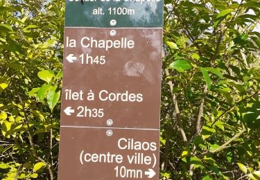
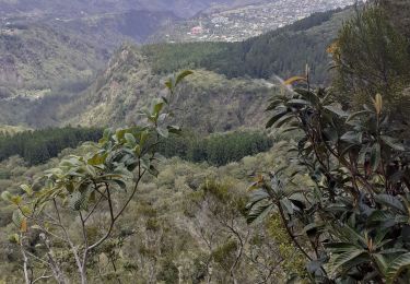
6.2 km | 15.8 km-effort
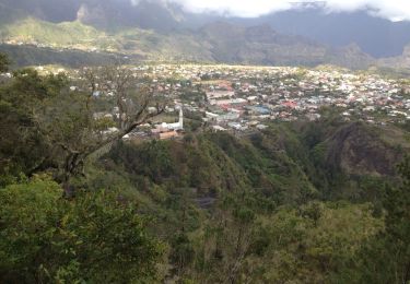
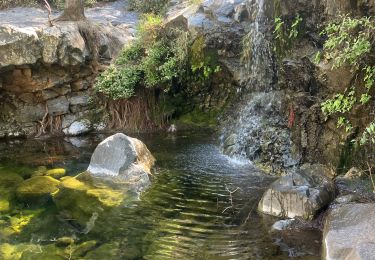
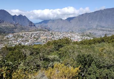
boucle des sources
andreausloos
User
Length
2.2 km
Max alt
1505 m
Uphill gradient
107 m
Km-Effort
3.7 km
Min alt
1389 m
Downhill gradient
109 m
Boucle
Yes
Creation date :
2021-02-19 06:12:10.678
Updated on :
2021-02-19 07:12:35.855
59m
Difficulty : Easy
FREE GPS app for hiking
About
Trail Walking of 2.2 km to be discovered at Réunion, Unknown, Cilaos. This trail is proposed by andreausloos.
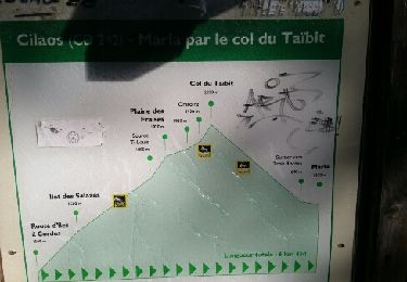
Positioning
Country:
France
Region :
Réunion
Department/Province :
Unknown
Municipality :
Cilaos
Location:
Unknown
Start:(Dec)
Start:(UTM)
343790 ; 7662621 (40K) S.
Comments
Trails nearby
La Réunion - Mafate (Marla) par le col du Taïbit
Walking
Medium
(1)
Cilaos,
Réunion,
Unknown,
France
3h 46min
No
cilaos Bras Rouge
Walking
Medium
(3)
Cilaos,
Réunion,
Unknown,
France
11.4 km | 22 km-effort
4h 49min
Yes
Cilaos-Marla par BrasRouge(12K 1390D+)
Walking
Difficult
(1)
Cilaos,
Réunion,
Unknown,
France
12 km | 28 km-effort
3h 39min
No
La chapelle de CILAOS
Walking
Medium
(1)
Cilaos,
Réunion,
Unknown,
France
8.6 km | 18 km-effort
3h 46min
No
la roche merveilleuse
Walking
Medium
Cilaos,
Réunion,
Unknown,
France
4.7 km | 8.6 km-effort
2h 29min
Yes
Roche merveilleuse
Walking
Easy
Cilaos,
Réunion,
Unknown,
France
8.1 km | 13.9 km-effort
2h 34min
No
la chapelle Cilaos
Walking
Difficult
Cilaos,
Réunion,
Unknown,
France
7.8 km | 16.4 km-effort
4h 51min
Yes
Bonnet de prêtre mag papa lol
Walking
Cilaos,
Réunion,
Unknown,
France
4.3 km | 8.9 km-effort
2h 48min
Yes
le bloc piton des neiges
Walking
Difficult
Cilaos,
Réunion,
Unknown,
France
18.1 km | 49 km-effort
8h 48min
Yes
la première partie est coriace et au lieu de revenir par la route on peut prendre un chemin à droite.