


9.5 km | 12 km-effort


User


FREE GPS app for hiking
 SityTrail
IGN / Geographical institutes
SityTrail World
The world is yours!
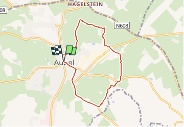
Trail Walking of 5.9 km to be discovered at Wallonia, Liège, Aubel. This trail is proposed by gscheven.
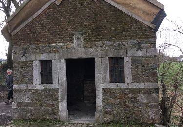
Traversée de prés aux sources de la Bel. Passage d'un pont de la Ligne 38. Possibilité de restauration en cours de promenade à Cosenberg. Visite de la Siroperie Artisanale d'Aubel tous les samedis à 11h. Suivre balisage "Rectangle rouge" (voir photo ci-dessus).

Walking

Walking

Walking

Walking

Walking

Walking

Walking
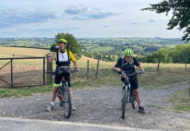
Mountain bike
Other activity