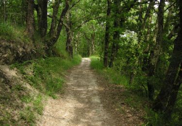
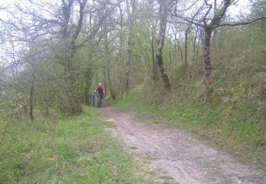
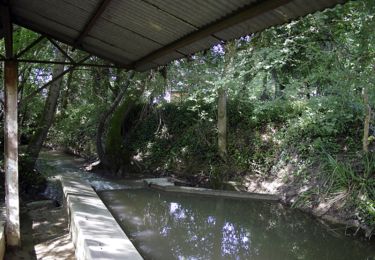
11.7 km | 15.8 km-effort
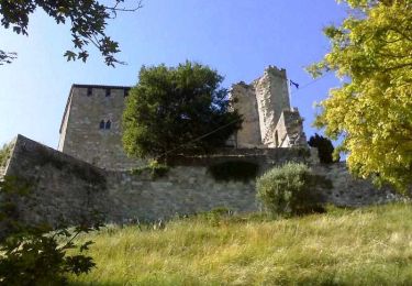
chateau de Madaillan
mdns
User
Length
11.7 km
Max alt
189 m
Uphill gradient
169 m
Km-Effort
14 km
Min alt
37 m
Downhill gradient
184 m
Boucle
No
Creation date :
2021-02-13 13:42:15.82
Updated on :
2021-02-13 16:52:52.401
2h43
Difficulty : Very easy
FREE GPS app for hiking
About
Trail Walking of 11.7 km to be discovered at New Aquitaine, Lot-et-Garonne, Saint-Hilaire-de-Lusignan. This trail is proposed by mdns.
Description
autour du château
Positioning
Country:
France
Region :
New Aquitaine
Department/Province :
Lot-et-Garonne
Municipality :
Saint-Hilaire-de-Lusignan
Location:
Unknown
Start:(Dec)
Start:(UTM)
306192 ; 4902903 (31T) N.
Comments
Trails nearby
Randonnée dans les collines Agenaises - Colayrac Saint Cirq
Walking
Medium
(2)
Colayrac-Saint-Cirq,
New Aquitaine,
Lot-et-Garonne,
France
3h 10min
Yes
Agen-Moissac
Bicycle tourism
Medium
Agen,
New Aquitaine,
Lot-et-Garonne,
France
51 km | 55 km-effort
Unknown
No
Randonnée aux environs d'Agen et le Passage d'Agen
Walking
Easy
Foulayronnes,
New Aquitaine,
Lot-et-Garonne,
France
10.6 km | 12.2 km-effort
3h 12min
Yes
Prayssas, tourisme au pays du chasselas - 9km
On foot
Easy
Prayssas,
New Aquitaine,
Lot-et-Garonne,
France
9 km | 12.3 km-effort
2h 48min
No
Les pieds dans le ruisseau
Walking
Very easy
Madaillan,
New Aquitaine,
Lot-et-Garonne,
France
7.2 km | 9.4 km-effort
1h 58min
Yes
Lac de Néguenou à Montpezat
Mountain bike
Very difficult
Prayssas,
New Aquitaine,
Lot-et-Garonne,
France
43 km | 54 km-effort
4h 0min
Yes
Parcours de Prayssas
Mountain bike
Very difficult
Prayssas,
New Aquitaine,
Lot-et-Garonne,
France
59 km | 77 km-effort
4h 30min
Yes
Randonnée dans les collines Agenaises - Colayrac Saint Cirq
Mountain bike
Easy
Colayrac-Saint-Cirq,
New Aquitaine,
Lot-et-Garonne,
France
11.7 km | 15.8 km-effort
1h 30min
Yes
Madaillan, le circuit du plateau de Fraisse - Pays de la vallée du Lot
Walking
Medium
Madaillan,
New Aquitaine,
Lot-et-Garonne,
France
6.8 km | 8.9 km-effort
1h 45min
Yes