


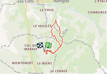

9.1 km | 24 km-effort

User GUIDE


FREE GPS app for hiking
 SityTrail
IGN / Geographical institutes
SityTrail World
The world is yours!
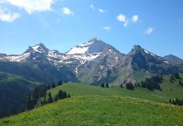
Trail Touring skiing of 12.2 km to be discovered at Auvergne-Rhône-Alpes, Upper Savoy, Serraval. This trail is proposed by nadd73.
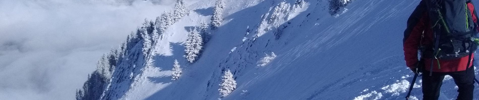
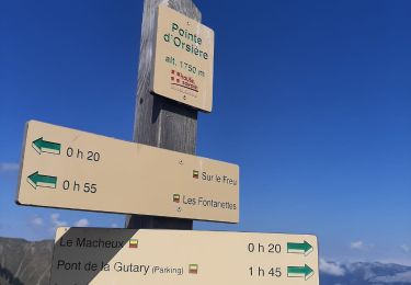
Départ à Mont derrière.
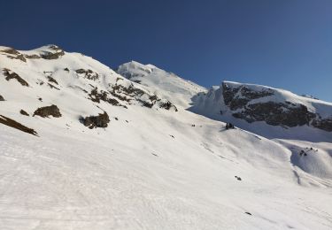
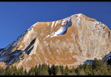
La descente du couloir 'est à faire que en bonne condition.
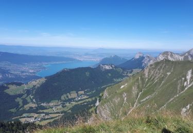
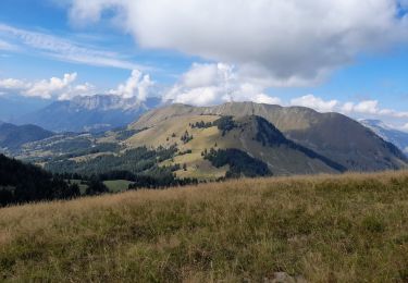
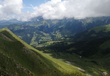
Très beau tour et très belle vue.


Touring skiing

Touring skiing
Walking

Walking
Walking
Walking
Walking
Walking
Walking