4.1 km | 5.3 km-effort
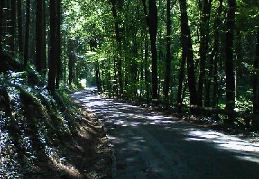
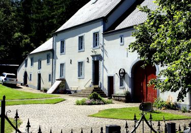
La vallée des trois moulins
Jacques Deom
User
Length
12.7 km
Max alt
412 m
Uphill gradient
269 m
Km-Effort
16.3 km
Min alt
292 m
Downhill gradient
267 m
Boucle
Yes
Creation date :
2021-02-10 12:28:48.724
Updated on :
2021-02-10 15:22:28.11
2h53
Difficulty : Very easy
FREE GPS app for hiking
About
Trail Walking of 12.7 km to be discovered at Wallonia, Luxembourg, Arlon. This trail is proposed by Jacques Deom.
Positioning
Country:
Belgium
Region :
Wallonia
Department/Province :
Luxembourg
Municipality :
Arlon
Location:
Bonnert
Start:(Dec)
Start:(UTM)
703873 ; 5509025 (31U) N.
Comments
Trails nearby
Clairefontaine - Circuit Natura 2000, des sites qui valent le détour - Lx15
Walking
Easy
(2)
Arlon,
Wallonia,
Luxembourg,
Belgium
1h 11min
Yes
Guirsch, vallée des moulins
Walking
Very easy
(1)
Arlon,
Wallonia,
Luxembourg,
Belgium
5.8 km | 7.2 km-effort
1h 33min
No
31.265 Arlon - Vieille Ville
Walking
Easy
(1)
Arlon,
Wallonia,
Luxembourg,
Belgium
4.6 km | 5.3 km-effort
1h 34min
Yes
RF-Lu-15 - Une randonnée (trans)frontalière : Clairefontaine
Walking
Very easy
(3)
Arlon,
Wallonia,
Luxembourg,
Belgium
11.1 km | 14.7 km-effort
3h 11min
Yes
Arlon - MESA 2024
Walking
Medium
Arlon,
Wallonia,
Luxembourg,
Belgium
15.8 km | 19.4 km-effort
3h 33min
Yes
N° 8 - Waltzing-Eischen, balade belgo-luxembourgeoise
On foot
Easy
Arlon,
Wallonia,
Luxembourg,
Belgium
10.3 km | 13 km-effort
2h 57min
Yes
Bonnert et la Platinerie
On foot
Easy
Arlon,
Wallonia,
Luxembourg,
Belgium
5.5 km | 7.4 km-effort
1h 40min
Yes
N° 2 - De Sesselich à Wolkrange
On foot
Easy
Arlon,
Wallonia,
Luxembourg,
Belgium
7.6 km | 9.5 km-effort
2h 9min
Yes
N° 10 - Clairefontaine : Ermesinde
On foot
Easy
Arlon,
Wallonia,
Luxembourg,
Belgium
4 km | 5.1 km-effort
1h 9min
Yes