


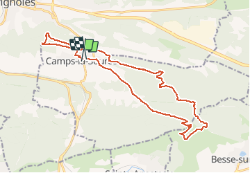

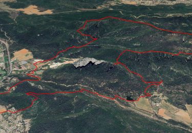
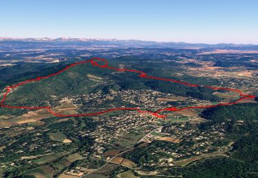
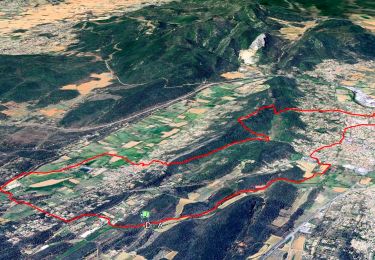
13.9 km | 23 km-effort


User


FREE GPS app for hiking
 SityTrail
IGN / Geographical institutes
SityTrail World
The world is yours!
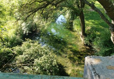
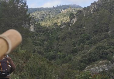
Trail Walking of 21 km to be discovered at Provence-Alpes-Côte d'Azur, Var, Camps-la-Source. This trail is proposed by Christiancordin.
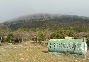
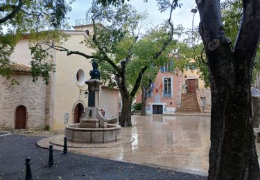
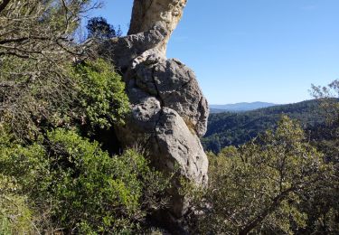
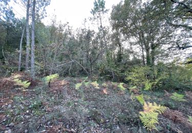
Camps la Source-rocher du Gueit-table d'orientation-théâtre de l'olive en plein air-chapelle St Sébastien-les châtaignier-chapelle St Quinis-route des oratoires.


Walking
Walking
Walking
Walking
Walking
Walking

sport
Walking
Walking