


3.3 km | 3.6 km-effort


User


FREE GPS app for hiking
 SityTrail
IGN / Geographical institutes
SityTrail World
The world is yours!
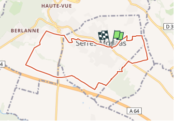
Trail On foot of 9.7 km to be discovered at New Aquitaine, Pyrénées-Atlantiques, Serres-Morlaàs. This trail is proposed by mitch1952.
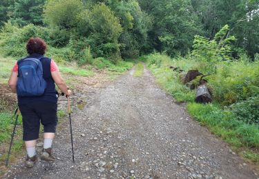
3/4 de la Rando sur des sentiers goudronnés entre les villas. A faire après une période pluvieuse pour ne pas avoir trop de passages boueux.
Belle vue sur les Pyrénées.

Walking


sport

On foot
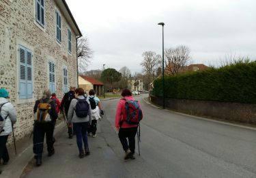
Walking
Walking
Walking
Walking
Walking

Walking