Trail Walking Bigorno - Col de Bigorno - San Anghieli - Photo

Col de Bigorno - San Anghieli

© OpenStreetMap contributors
Length
Length
12 km
Max alt
Max alt
1369 m
Uphill gradient
Uphill gradient
613 m
Km-Effort
Km-Effort  
20 km
Min alt
Min alt
881 m
Downhill gradient
Downhill gradient
612 m
Boucle
Boucle
Yes
Creation date :
2021-02-06 10:36:47.795
Updated on :
2021-02-06 15:16:07.41

(0 Reviews)

Walking
Walking
4h38
Difficulty : Medium

Scan this QR Code to open this trail in the SityTrail application

FREE GPS app for hiking

Logo SityTrail SityTrail

IGN / Geographical institutes

Download SityTrail from the App Store Download SityTrail from Google Play

Logo SityTrail SityTrail World

The world is yours!

Download SityTrail from the App Store Download SityTrail from Google Play Download SityTrail on Huawei AppGallery

About

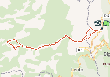
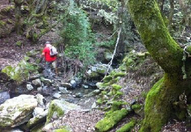
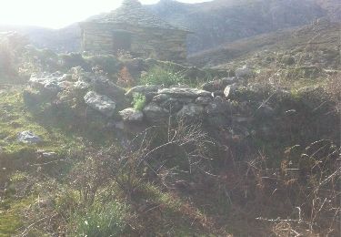
Trail Walking of 12 km to be discovered at Corsica, Haute-Corse, Bigorno. This trail is proposed by olivecoco.

Description

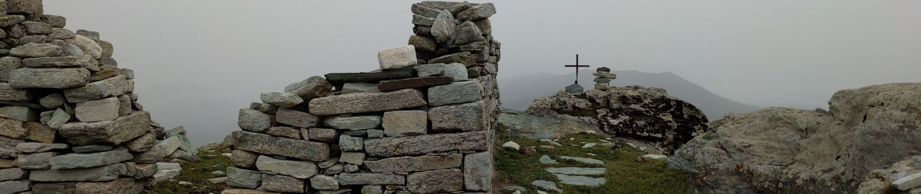
Randonnée facile sur des crêtes avec très beaux panoramas sur St Florent, la côte orientale et Ponte Leccia

Elevation profile

Photos

Positioning

Country:
France
Region :
Corsica
Department/Province :
Haute-Corse
Municipality :
Bigorno
Location:
Unknown
Start:(UTM)
524316 ; 4709522 (32T) N.

Trails nearby

Trail Walking Bigorno - bigornu vers murato - Photo
Walking
duducardo

Walking

Very easy
Bigorno, Corsica, Haute-Corse, France
6.3 km | 8.8 km-effort
1h 58min
No
Trail Walking Sorio - soriu - Photo
Walking
taz2b

Walking

Easy
Sorio, Corsica, Haute-Corse, France
10.9 km | 19.1 km-effort
3h 50min
No
Trail Walking Lento - COL BIGORNO - Photo
Walking
jcmd49

Walking

Very easy
Lento, Corsica, Haute-Corse, France
9.7 km | 15.8 km-effort
Unknown
No
Trail Walking Lento - col bigorno/San Anghiulu A/R - Photo
Walking
duducardo

Walking

Medium
(1)
Lento, Corsica, Haute-Corse, France
9.7 km | 15.8 km-effort
3h 16min
No


Close
My subscriptions