


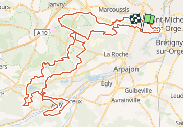

27 km | 32 km-effort


User


FREE GPS app for hiking
 SityTrail
IGN / Geographical institutes
SityTrail World
The world is yours!
Trail Mountain bike of 72 km to be discovered at Ile-de-France, Essonne, Linas. This trail is proposed by Lucquiaud.
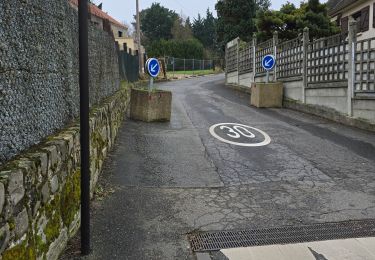
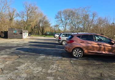
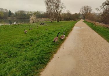
Walking
Walking
Walking

Walking

Walking
Walking
Walking
Walking
Walking
Parcours complet et tres sympa attention c est long