


938 m | 1.3 km-effort


User


FREE GPS app for hiking
 SityTrail
IGN / Geographical institutes
SityTrail World
The world is yours!
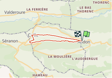
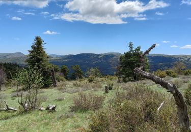
Trail On foot of 10.5 km to be discovered at Provence-Alpes-Côte d'Azur, Maritime Alps, Andon. This trail is proposed by boulinevelyne.
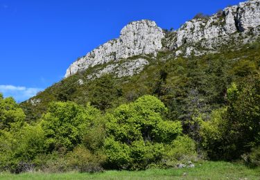
Tour du poljé (dépréssion karstique à fond plat.)
Forêt de la Faourée à l'aller.
Bois de le Serre au retour.
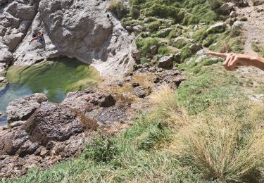
Coup d'oeil à la mététorite à Caille
Walking

Walking
On foot

On foot
Walking
Walking
Walking
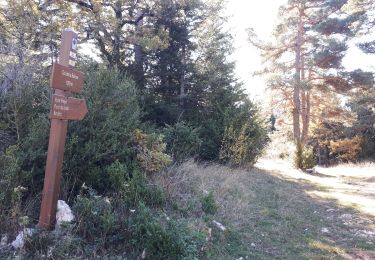
Walking
Walking