22 km | 25 km-effort
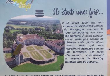
Moncley
legios84
User
Length
13.2 km
Max alt
257 m
Uphill gradient
185 m
Km-Effort
15.7 km
Min alt
206 m
Downhill gradient
185 m
Boucle
Yes
Creation date :
2021-02-04 12:37:20.645
Updated on :
2021-02-04 15:59:07.318
2h43
Difficulty : Medium
FREE GPS app for hiking
About
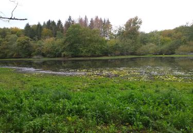
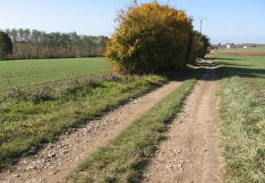
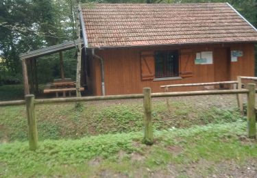
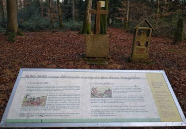
Trail Walking of 13.2 km to be discovered at Bourgogne-Franche-Comté, Doubs, Moncley. This trail is proposed by legios84.
Positioning
Country:
France
Region :
Bourgogne-Franche-Comté
Department/Province :
Doubs
Municipality :
Moncley
Location:
Unknown
Start:(Dec)
Start:(UTM)
718499 ; 5243660 (31T) N.
Comments
Trails nearby
chaucen..ne perd rien
Walking
Easy
(1)
Chaucenne,
Bourgogne-Franche-Comté,
Doubs,
France
13.9 km | 16.8 km-effort
3h 49min
Yes
vallée de l'ognon Cussey
Walking
Very easy
Cussey-sur-l'Ognon,
Bourgogne-Franche-Comté,
Doubs,
France
9.3 km | 10.9 km-effort
1h 27min
Yes
De Breurey lès Faverney à Vignieu en VTT- Étape 2/6
Mountain bike
Difficult
Cussey-sur-l'Ognon,
Bourgogne-Franche-Comté,
Doubs,
France
81 km | 91 km-effort
7h 30min
No
CHEVIGNEY SUR L'OGNON
Walking
Easy
Chevigney-sur-l'Ognon,
Bourgogne-Franche-Comté,
Doubs,
France
8.9 km | 10.1 km-effort
1h 55min
No
Recologne Noironte 4 fév 2020 CAF
Walking
Medium
Recologne,
Bourgogne-Franche-Comté,
Doubs,
France
20 km | 24 km-effort
6h 13min
Yes
Placey Recologne Noironte
Walking
Easy
Placey,
Bourgogne-Franche-Comté,
Doubs,
France
13.4 km | 15.6 km-effort
3h 32min
Yes
chant
Walking
Easy
Émagny,
Bourgogne-Franche-Comté,
Doubs,
France
4.8 km | 5.5 km-effort
1h 54min
No
étuz
Walking
Difficult
Étuz,
Bourgogne-Franche-Comté,
Haute-Saône,
France
11.7 km | 14.1 km-effort
2h 59min
Yes