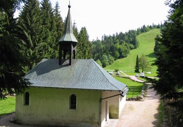
15 km | 24 km-effort
20210124 - Col-Oderen - Christian Forgoutte
nfranche
User
Length
12.2 km
Max alt
1039 m
Uphill gradient
412 m
Km-Effort
17.7 km
Min alt
763 m
Downhill gradient
412 m
Boucle
Yes
Creation date :
2021-02-02 16:00:50.917
Updated on :
2021-02-02 16:12:27.264
--
Difficulty : Difficult
FREE GPS app for hiking
About
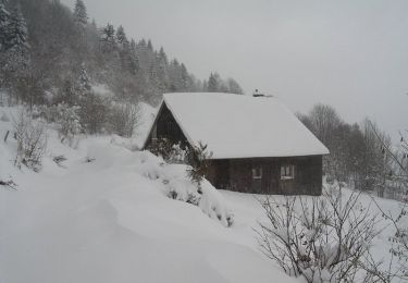
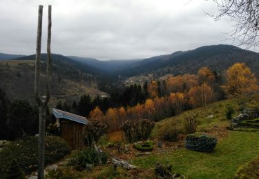
Trail Snowshoes of 12.2 km to be discovered at Grand Est, Vosges, Ventron. This trail is proposed by nfranche.
Description
File with points/tracks from Locus Map/3.50.1
Positioning
Country:
France
Region :
Grand Est
Department/Province :
Vosges
Municipality :
Ventron
Location:
Unknown
Start:(Dec)
Start:(UTM)
344329 ; 5309817 (32T) N.
Comments
Trails nearby
Col de Bussang - Rouge Gazon - Séchenat
Walking
Difficult
(1)
Bussang,
Grand Est,
Vosges,
France
6h 0min
No
Circuit de raquette de Bussang
Snowshoes
Difficult
(1)
Bussang,
Grand Est,
Vosges,
France
7.7 km | 11.2 km-effort
3h 0min
Yes
L'Ermitage du Frère Joseph depuis Ventron
Walking
Easy
(1)
Ventron,
Grand Est,
Vosges,
France
10.2 km | 15.4 km-effort
2h 49min
Yes
Felsach _chapelle ST Nicolas_frenz
Walking
Difficult
(3)
Fellering,
Grand Est,
Haut-Rhin,
France
9.6 km | 16.5 km-effort
3h 45min
Yes
activity_9407679223
Mountain bike
Medium
Bussang,
Grand Est,
Vosges,
France
21 km | 30 km-effort
2h 2min
Yes
2022-02-19 Marche Ventron Tête des Champs
Walking
Very difficult
Ventron,
Grand Est,
Vosges,
France
22 km | 34 km-effort
5h 52min
Yes
Circuit de la Croix de l’Hermite par Forgoutte
On foot
Easy
Ventron,
Grand Est,
Vosges,
France
4.3 km | 6.6 km-effort
1h 29min
No
Circuit panoramique de la Futaie
On foot
Easy
Ventron,
Grand Est,
Vosges,
France
8.8 km | 12.6 km-effort
2h 52min
Yes
Bussang_20210918_101006
Mountain bike
Very easy
Bussang,
Grand Est,
Vosges,
France
30 km | 43 km-effort
Unknown
No