11.7 km | 14 km-effort
Boucle la celle vers Chantemerle Bethon
NANE51
User
Length
12.4 km
Max alt
209 m
Uphill gradient
211 m
Km-Effort
15.2 km
Min alt
116 m
Downhill gradient
213 m
Boucle
Yes
Creation date :
2021-01-31 08:00:00.0
Updated on :
2021-01-31 10:59:50.428
2h59
Difficulty : Unknown
FREE GPS app for hiking
About
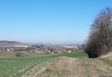
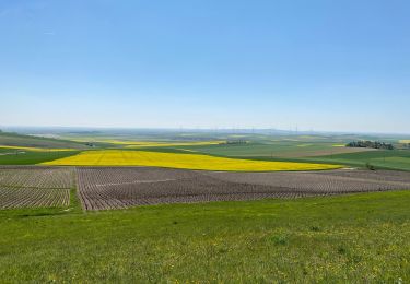
Trail Walking of 12.4 km to be discovered at Grand Est, Marne, La Celle-sous-Chantemerle. This trail is proposed by NANE51.
Description
Départ du parking de l’église
Positioning
Country:
France
Region :
Grand Est
Department/Province :
Marne
Municipality :
La Celle-sous-Chantemerle
Location:
Unknown
Start:(Dec)
Start:(UTM)
549992 ; 5384655 (31U) N.
Comments
Trails nearby
dans le vignoble Champenois autour de BARBONNE-FAYEL
Walking
Easy
Barbonne-Fayel,
Grand Est,
Marne,
France
4h 27min
Yes
Boucle Potangis Le Perre Chantemerle Bethon
Walking
Easy
Potangis,
Grand Est,
Marne,
France
16.4 km | 19.6 km-effort
3h 33min
Yes
Boucle Saron les éoliennes
Walking
Saron-sur-Aube,
Grand Est,
Marne,
France
9.1 km | 10 km-effort
1h 51min
Yes
Boucle Dt Quentin le Verger
Walking
Very easy
Saint-Quentin-le-Verger,
Grand Est,
Marne,
France
12.7 km | 14.3 km-effort
2h 42min
Yes
la celle bois de fontaine denis nuisy
Walking
Difficult
La Celle-sous-Chantemerle,
Grand Est,
Marne,
France
12.5 km | 15.5 km-effort
3h 31min
Yes
Villiers, Chantemerle, Potangis
Walking
Easy
(1)
Villiers-aux-Corneilles,
Grand Est,
Marne,
France
12.7 km | 15.2 km-effort
3h 27min
Yes
Bethon-Montgenost
On foot
Medium
Bethon,
Grand Est,
Marne,
France
9.7 km | 11.9 km-effort
Unknown
Yes
Barbonne-Fayel ,
On foot
Easy
Barbonne-Fayel,
Grand Est,
Marne,
France
9 km | 11.3 km-effort
2h 30min
Yes
RD Barbonne Lancourt
On foot
Very easy
Barbonne-Fayel,
Grand Est,
Marne,
France
7.2 km | 9 km-effort
Unknown
Yes