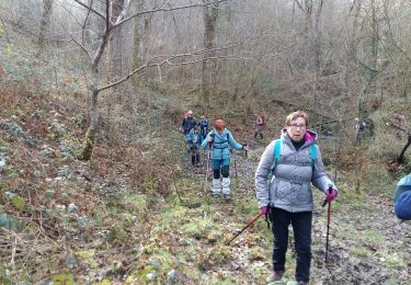
7.7 km | 11.3 km-effort
Crêtes d'Issor
marmotte65
User GUIDE
Length
8.7 km
Max alt
575 m
Uphill gradient
304 m
Km-Effort
12.8 km
Min alt
323 m
Downhill gradient
304 m
Boucle
Yes
Creation date :
2021-01-30 10:10:01.887
Updated on :
2021-01-31 16:11:03.298
--
Difficulty : Medium
FREE GPS app for hiking
About
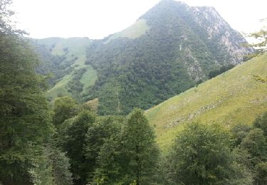
Trail On foot of 8.7 km to be discovered at New Aquitaine, Pyrénées-Atlantiques, Arette. This trail is proposed by marmotte65.
Description
Départ rando dans le centre d'Arette Coordonnées GPS N 43 05 42.0 W 000 42 55.4
Positioning
Country:
France
Region :
New Aquitaine
Department/Province :
Pyrénées-Atlantiques
Municipality :
Arette
Location:
Unknown
Start:(Dec)
Start:(UTM)
685930 ; 4773897 (30T) N.
Comments
Trails nearby
Chemin des pantières - Lanne en Barétous
Walking
Medium
(2)
Lanne-en-Barétous,
New Aquitaine,
Pyrénées-Atlantiques,
France
2h 30min
Yes
ARAMITS "une virée chez les mousquetaires" G3 fait 3075825
Walking
Difficult
Aramits,
New Aquitaine,
Pyrénées-Atlantiques,
France
11.1 km | 16 km-effort
3h 3min
Yes
ARAMITS reco une virée chez les mousquetaires
Walking
Medium
Aramits,
New Aquitaine,
Pyrénées-Atlantiques,
France
11.3 km | 16.1 km-effort
4h 56min
Yes
lanneenbaretous fait
Walking
Very easy
Lanne-en-Barétous,
New Aquitaine,
Pyrénées-Atlantiques,
France
11.6 km | 16 km-effort
5h 34min
No
ARETTE le tour du Soum de Casteigt "3356635"tracé definitif G4 du 26/08/2022
On foot
Easy
Arette,
New Aquitaine,
Pyrénées-Atlantiques,
France
7.8 km | 11.6 km-effort
2h 37min
Yes
G4 lanne baretous fait
Walking
Medium
Lanne-en-Barétous,
New Aquitaine,
Pyrénées-Atlantiques,
France
8.6 km | 11.6 km-effort
3h 1min
Yes
G3Aramits fait2022
Walking
Difficult
Aramits,
New Aquitaine,
Pyrénées-Atlantiques,
France
11.3 km | 16.1 km-effort
3h 14min
Yes
montée impossible
Walking
Medium
Arette,
New Aquitaine,
Pyrénées-Atlantiques,
France
9.3 km | 18.4 km-effort
31min
No
De Aramits à Ance
Walking
Difficult
Aramits,
New Aquitaine,
Pyrénées-Atlantiques,
France
13.6 km | 19.8 km-effort
3h 40min
No