6.5 km | 11.5 km-effort
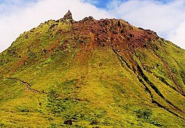
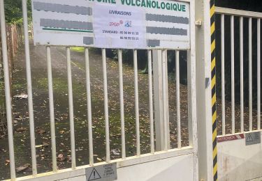
Houėlmont observatoire volcanologique
sameja
User
Length
6.4 km
Max alt
418 m
Uphill gradient
381 m
Km-Effort
11.5 km
Min alt
26 m
Downhill gradient
381 m
Boucle
Yes
Creation date :
2021-01-26 16:25:36.0
Updated on :
2021-01-27 11:03:09.92
1h22
Difficulty : Difficult
FREE GPS app for hiking
About
Trail Trail of 6.4 km to be discovered at Guadeloupe, Unknown, Gourbeyre. This trail is proposed by sameja.
Description
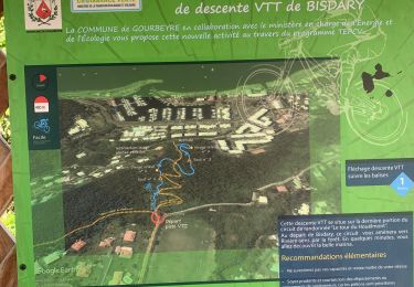
Bysdary gourbeyre la boucle
Positioning
Country:
France
Region :
Guadeloupe
Department/Province :
Unknown
Municipality :
Gourbeyre
Location:
Unknown
Start:(Dec)
Start:(UTM)
638701 ; 1767164 (20P) N.
Comments
Trails nearby
Gourbeyre
Trail
Difficult
Gourbeyre,
Guadeloupe,
Unknown,
France
17.1 km | 27 km-effort
2h 10min
Yes
Palmiste trace du radar
Trail
Difficult
Trois-Rivières,
Guadeloupe,
Unknown,
France
13.5 km | 22 km-effort
3h 2min
No
Volcano Trail - Grand Raid de la Région Guadeloupe - Édition 2009
Running
Very difficult
Basse-Terre,
Guadeloupe,
Unknown,
France
44 km | 86 km-effort
11h 30min
No
La parabole
Walking
Medium
Gourbeyre,
Guadeloupe,
Unknown,
France
7.1 km | 9.6 km-effort
2h 17min
Yes
reco exam poudriere
Walking
Medium
Gourbeyre,
Guadeloupe,
Unknown,
France
5.5 km | 9.4 km-effort
2h 37min
Yes
Boucle du Morne Cadet
Walking
Difficult
Gourbeyre,
Guadeloupe,
Unknown,
France
9.8 km | 18.7 km-effort
5h 46min
Yes
cascade plessis
Walking
Very easy
Vieux-Fort,
Guadeloupe,
Unknown,
France
11.2 km | 21 km-effort
46min
No