


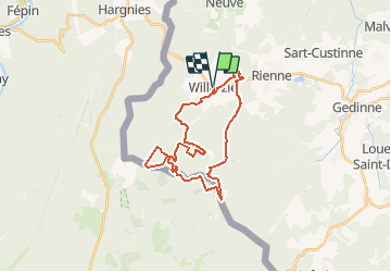

23 km | 30 km-effort


User


FREE GPS app for hiking
 SityTrail
IGN / Geographical institutes
SityTrail World
The world is yours!
Trail On foot of 26 km to be discovered at Wallonia, Namur, Gedinne. This trail is proposed by MathieuBourgois.
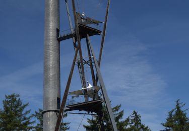
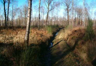
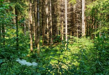
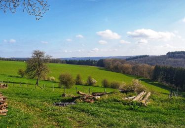
A la découverte d'un haut lieu de l'Ardenne. Forêts profondes et giboyeuses, tourbières et landes sont de la partie, de même qu'un haute tour qui, avant de renaître, a dû baisser pavillon.
Passage par la Croix Scaille
Walking

Walking

Walking
Walking

Walking
Walking
Walking
Walking
Walking