Trail Walking Ballancourt-sur-Essonne - Boucle Ballancourt 2 - Photo
 chessyca
chessyca

User GUIDE

© OpenStreetMap contributors
Length
Length
21 km
Max alt
Max alt
151 m
Uphill gradient
Uphill gradient
364 m
Km-Effort
Km-Effort  
26 km
Min alt
Min alt
49 m
Downhill gradient
Downhill gradient
368 m
Boucle
Boucle
Yes
Creation date :
2021-01-26 07:53:30.518
Updated on :
2021-01-26 16:47:03.057

(0 Reviews)

Walking
Walking
7h04
Difficulty : Very easy

Scan this QR Code to open this trail in the SityTrail application

FREE GPS app for hiking

Logo SityTrail SityTrail

IGN / Geographical institutes

Download SityTrail from the App Store Download SityTrail from Google Play

Logo SityTrail SityTrail World

The world is yours!

Download SityTrail from the App Store Download SityTrail from Google Play Download SityTrail on Huawei AppGallery

About

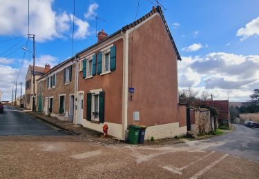
Trail Walking of 21 km to be discovered at Ile-de-France, Essonne, Ballancourt-sur-Essonne. This trail is proposed by chessyca.

Description

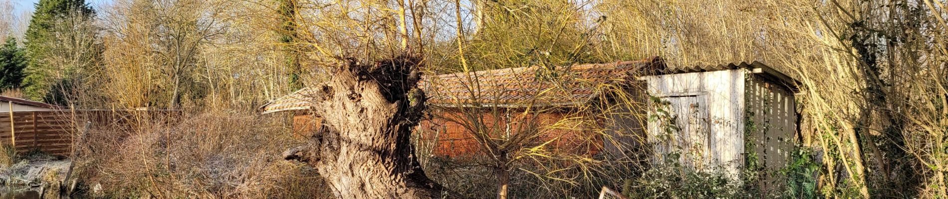
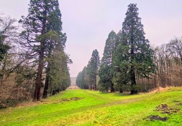
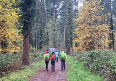
Quelques variations par rapport au précédent parcours.
Un peu moins de rocher, un peu plus de boue, un peu plus de soleil , un peu moins de chasseurs ^^

Elevation profile

Photos

Positioning

Country:
France
Region :
Ile-de-France
Department/Province :
Essonne
Municipality :
Ballancourt-sur-Essonne
Location:
Unknown
Start:(UTM)
454309 ; 5374496 (31U) N.

Trails nearby

Trail Walking Itteville - Les vieilles ailes - Photo
Walking
c.chehere

Walking

Easy
(1)
Itteville, Ile-de-France, Essonne, France
16.8 km | 19.2 km-effort
3h 37min
Yes
Trail Walking Mennecy - Boucle 23 km au départ de Mennecy - Photo
Walking
GUIDE
chessyca

Walking

Very easy
Mennecy, Ile-de-France, Essonne, France
23 km | 26 km-effort
4h 52min
Yes
Trail Walking Champcueil - Boucle Champcueil - Photo
Walking
GUIDE
chessyca

Walking

Medium
Champcueil, Ile-de-France, Essonne, France
25 km | 30 km-effort
5h 38min
Yes
Trail Walking Ballancourt-sur-Essonne - Boucle autour de Ballancourt - Photo
Walking
GUIDE
chessyca

Walking

Medium
Ballancourt-sur-Essonne, Ile-de-France, Essonne, France
21 km | 25 km-effort
4h 47min
Yes
Trail Walking Baulne - De La Ferté Alais à Mennecy - Photo
Walking
GUIDE
chessyca

Walking

Very easy
Baulne, Ile-de-France, Essonne, France
20 km | 23 km-effort
4h 31min
No
Trail On foot Itteville - SityTrail - 3212203 - itteville - Photo
On foot
GUIDE
chessyca

On foot

Difficult
Itteville, Ile-de-France, Essonne, France
28 km | 33 km-effort
7h 32min
Yes
Trail On foot La Ferté-Alais - Boucle Orveau - Ferté Alais 27 km - Photo
On foot
GUIDE
chessyca

On foot

Difficult
La Ferté-Alais, Ile-de-France, Essonne, France
27 km | 33 km-effort
7h 26min
Yes
Trail On foot Mennecy - Boucle autour de Mennecy - Photo
On foot
GUIDE
chessyca

On foot

Medium
Mennecy, Ile-de-France, Essonne, France
27 km | 30 km-effort
6h 48min
Yes
Trail On foot Itteville - Chemin des Marais - Photo
On foot
GUIDE+

On foot

Easy
Itteville, Ile-de-France, Essonne, France
14.3 km | 16 km-effort
3h 38min
No


Close
My subscriptions