


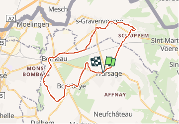

10.9 km | 12.6 km-effort

User GUIDE


FREE GPS app for hiking
 SityTrail
IGN / Geographical institutes
SityTrail World
The world is yours!
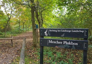
Trail Walking of 15.5 km to be discovered at Wallonia, Liège, Dalhem. This trail is proposed by mumu.larandonneuse.
Beau parcours par les chemins de campagne.
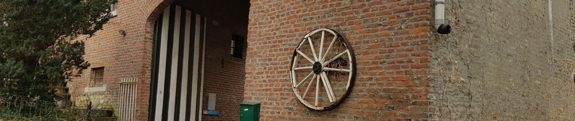
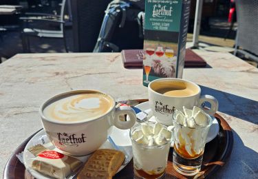
📌 Café l'Alliance, rue des combattants 1.
➡️📄 www.wandelgidszuidlimburg.com/routes-es-francais n° 1218.


Walking

Walking

Walking
Walking

Walking

Walking

Walking
Walking
Walking