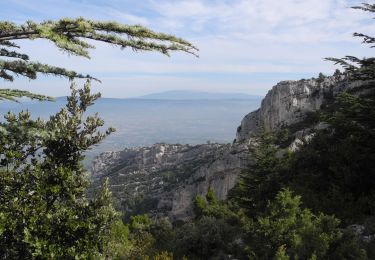
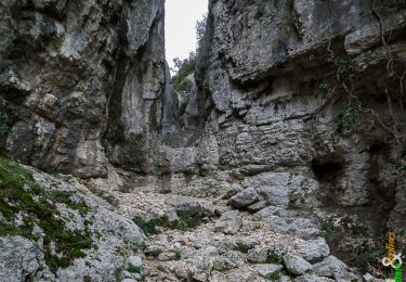
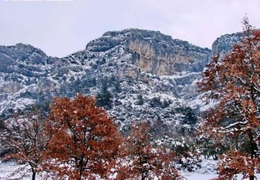
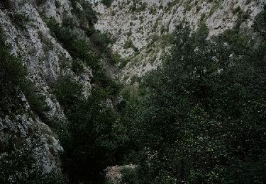
16.7 km | 27 km-effort
Les Fourcats
redica
User
Length
13.5 km
Max alt
675 m
Uphill gradient
661 m
Km-Effort
22 km
Min alt
123 m
Downhill gradient
672 m
Boucle
Yes
Creation date :
2021-01-22 14:43:02.186
Updated on :
2021-01-22 14:43:53.719
--
Difficulty : Medium
FREE GPS app for hiking
About
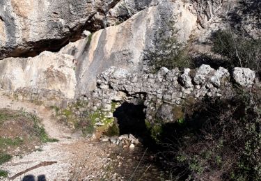
Trail On foot of 13.5 km to be discovered at Provence-Alpes-Côte d'Azur, Vaucluse, Robion. This trail is proposed by redica.
Positioning
Country:
France
Region :
Provence-Alpes-Côte d'Azur
Department/Province :
Vaucluse
Municipality :
Robion
Location:
Unknown
Start:(Dec)
Start:(UTM)
670017 ; 4856717 (31T) N.
Comments
Trails nearby
petit luberon
Walking
Difficult
(1)
Robion,
Provence-Alpes-Côte d'Azur,
Vaucluse,
France
6h 23min
Yes
PF-Oppède - Le Vallon de Combrès - Le Sautadou du Bausset
Walking
Difficult
(1)
Oppède,
Provence-Alpes-Côte d'Azur,
Vaucluse,
France
13.6 km | 23 km-effort
4h 45min
Yes
Par la Gorge de Badarel et les Rochers de Baude
Walking
Medium
(3)
Taillades,
Provence-Alpes-Côte d'Azur,
Vaucluse,
France
8 km | 14.7 km-effort
4h 0min
Yes
taillades
Walking
Very easy
(1)
Taillades,
Provence-Alpes-Côte d'Azur,
Vaucluse,
France
7.6 km | 9.8 km-effort
1h 36min
Yes
Les Taillades-De la source du Boulon au Castelas - Gorge de Badarel sous la n...
Walking
Difficult
(1)
Taillades,
Provence-Alpes-Côte d'Azur,
Vaucluse,
France
7 km | 10.8 km-effort
3h 0min
Yes
Robion - La Citerne (Bergerie) 30.8.20
Walking
Easy
(1)
Robion,
Provence-Alpes-Côte d'Azur,
Vaucluse,
France
8.3 km | 14.4 km-effort
3h 2min
Yes
Luberon - Grande Traversée de Vaucluse - de Maubec / Robion à Mérindol
Mountain bike
Difficult
(1)
Maubec,
Provence-Alpes-Côte d'Azur,
Vaucluse,
France
32 km | 42 km-effort
2h 47min
No
Taillades Badarel Brayette Robion
Walking
Difficult
(1)
Taillades,
Provence-Alpes-Côte d'Azur,
Vaucluse,
France
10.6 km | 17.6 km-effort
3h 41min
Yes
bergerie/badarel
Walking
Medium
(1)
Cheval-Blanc,
Provence-Alpes-Côte d'Azur,
Vaucluse,
France
9.9 km | 16 km-effort
3h 20min
Yes