


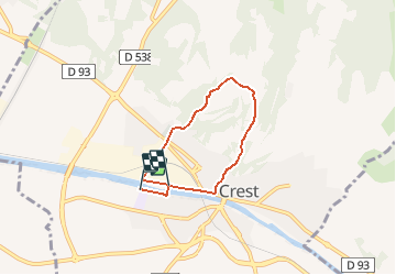

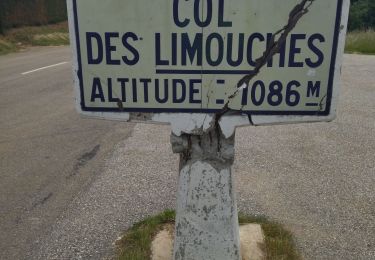
19.5 km | 28 km-effort


User


FREE GPS app for hiking
 SityTrail
IGN / Geographical institutes
SityTrail World
The world is yours!
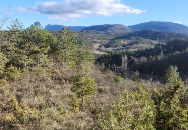
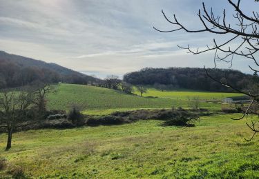
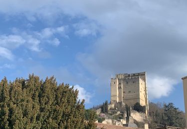
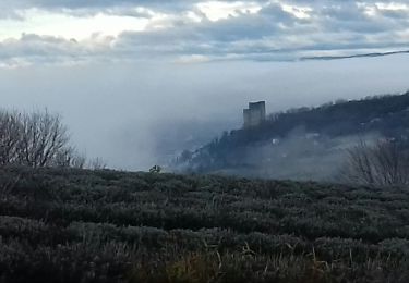
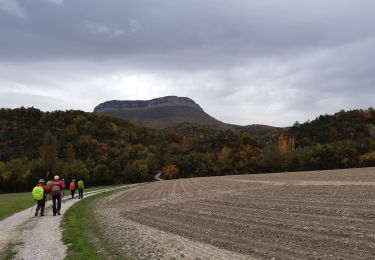
Trail Walking of 5 km to be discovered at Auvergne-Rhône-Alpes, Drôme, Crest. This trail is proposed by Théo Lrre.
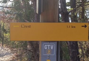
Petite balade autour de la ville de Crest partant de l’hôpital.
Le tracé est conçu de manière à limiter les routes à circulation élevée.
Walking

Mountain bike
Walking
Walking
Road bike
Walking
Hybrid bike
Walking