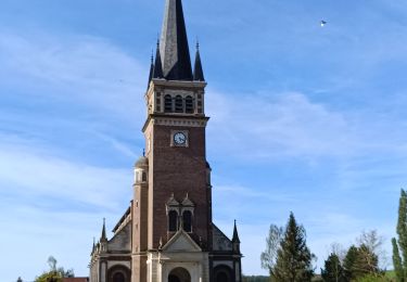
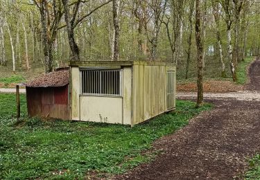
8.6 km | 10.5 km-effort
Bercenay en OTHE 20.01.2021 10kms
COTELEVELYNE
User
Length
10.3 km
Max alt
269 m
Uphill gradient
169 m
Km-Effort
12.6 km
Min alt
172 m
Downhill gradient
170 m
Boucle
Yes
Creation date :
2021-01-20 13:00:48.0
Updated on :
2021-01-20 16:59:39.966
2h21
Difficulty : Medium
FREE GPS app for hiking
About
Trail Walking of 10.3 km to be discovered at Grand Est, Aube, Bercenay-en-Othe. This trail is proposed by COTELEVELYNE.
Description
Rando plus que moyen pour les pentes assez costauds
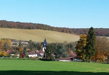
Positioning
Country:
France
Region :
Grand Est
Department/Province :
Aube
Municipality :
Bercenay-en-Othe
Location:
Unknown
Start:(Dec)
Start:(UTM)
566650 ; 5338984 (31U) N.
Comments
Trails nearby
Le chemin du patrimoine du Valdreux
Walking
Very easy
(1)
Chennegy,
Grand Est,
Aube,
France
1h 57min
Yes
cource xc cwb Laines Aux Bois 2017
Mountain bike
Difficult
(3)
Laines-aux-Bois,
Grand Est,
Aube,
France
6.6 km | 9.9 km-effort
38min
Yes
Vauchassis Bercenay
Walking
Difficult
Vauchassis,
Grand Est,
Aube,
France
9.6 km | 12.3 km-effort
2h 44min
Yes
Bucey250623024Bis
Walking
Medium
(1)
Sommeval,
Grand Est,
Aube,
France
8.7 km | 10.9 km-effort
2h 29min
Yes
Vauchassis Eaux Puiseaux Auxon Joigny Javernant Vauchassis
Electric bike
Easy
Vauchassis,
Grand Est,
Aube,
France
49 km | 57 km-effort
4h 26min
Yes
Randonnée Bucey 23 04 2024
Walking
Difficult
Vauchassis,
Grand Est,
Aube,
France
10.5 km | 13.4 km-effort
3h 5min
Yes
Balade VAE Pays d Othe
Electric bike
Very easy
Vauchassis,
Grand Est,
Aube,
France
56 km | 66 km-effort
5h 15min
Yes
Balade Forêt communale de Vauchassis
Walking
Medium
Vauchassis,
Grand Est,
Aube,
France
7.5 km | 9.1 km-effort
2h 26min
Yes