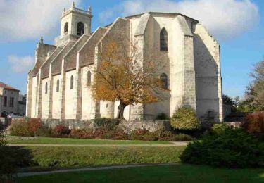
6.5 km | 7.7 km-effort
Castel
christiane01
User
Length
6.8 km
Max alt
123 m
Uphill gradient
87 m
Km-Effort
8 km
Min alt
61 m
Downhill gradient
88 m
Boucle
Yes
Creation date :
2021-01-20 13:15:50.164
Updated on :
2021-01-20 15:28:44.461
2h12
Difficulty : Easy
FREE GPS app for hiking
About
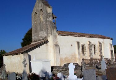
Trail Walking of 6.8 km to be discovered at New Aquitaine, Lot-et-Garonne, Casteljaloux. This trail is proposed by christiane01.
Positioning
Country:
France
Region :
New Aquitaine
Department/Province :
Lot-et-Garonne
Municipality :
Casteljaloux
Location:
Unknown
Start:(Dec)
Start:(UTM)
267599 ; 4910587 (31T) N.
Comments
Trails nearby
Beauziac, balade vers l'église du Tren - 6.7 km
On foot
Easy
Beauziac,
New Aquitaine,
Lot-et-Garonne,
France
1h 44min
Yes
Labastide-Castel-Amouroux vers l’Église de Saint-Gény - 5.1 km
On foot
Easy
Labastide-Castel-Amouroux,
New Aquitaine,
Lot-et-Garonne,
France
4.6 km | 5.9 km-effort
1h 20min
Yes
Labastide-Castel-Amouroux à ciel ouvert - 17.7 km
On foot
Medium
Labastide-Castel-Amouroux,
New Aquitaine,
Lot-et-Garonne,
France
17.6 km | 22 km-effort
5h 3min
Yes
La Réunion - La Taillade, vacances dans les bois de la Réunion - 3.4 km
On foot
Easy
Pompogne,
New Aquitaine,
Lot-et-Garonne,
France
3 km | 3.3 km-effort
45min
Yes
La Réunion - La Taillade, par les églises de Beyrac et Couthures - 21.3 km
On foot
Medium
La Réunion,
New Aquitaine,
Lot-et-Garonne,
France
21 km | 25 km-effort
5h 46min
Yes
beauziac
Walking
Easy
Beauziac,
New Aquitaine,
Lot-et-Garonne,
France
6.7 km | 7.8 km-effort
2h 21min
Yes
Circuit des Cadets de Gascogne - Casteljaloux
Cycle
Medium
Casteljaloux,
New Aquitaine,
Lot-et-Garonne,
France
86 km | 103 km-effort
4h 30min
Yes
Casteljaloux, porte de la forêt landaise - Pays Val de Garonne - Gascogne
Mountain bike
Medium
Casteljaloux,
New Aquitaine,
Lot-et-Garonne,
France
9.2 km | 11.1 km-effort
1h 15min
Yes
Casteljaloux, porte de la forêt landaise - Pays Val de Garonne - Gascogne
Walking
Medium
Casteljaloux,
New Aquitaine,
Lot-et-Garonne,
France
9.2 km | 11.1 km-effort
3h 0min
Yes