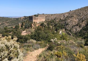
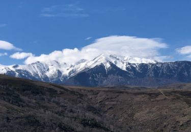
10.8 km | 16.7 km-effort
Fontcouverte 3 chapelles
robertperello
User
Length
28 km
Max alt
688 m
Uphill gradient
662 m
Km-Effort
38 km
Min alt
66 m
Downhill gradient
1164 m
Boucle
No
Creation date :
2021-01-20 09:10:24.0
Updated on :
2021-01-20 15:07:56.164
3h46
Difficulty : Difficult
FREE GPS app for hiking
About
Trail Walking of 28 km to be discovered at Occitania, Pyrénées-Orientales, Caixas. This trail is proposed by robertperello.
Description
Difficile si chemin abrupt
Positioning
Country:
France
Region :
Occitania
Department/Province :
Pyrénées-Orientales
Municipality :
Caixas
Location:
Unknown
Start:(Dec)
Start:(UTM)
471853 ; 4716751 (31T) N.
Comments
Trails nearby
CASTELNOU 66 - CAMELAS - ermitage San Marti de La Roca
Walking
Difficult
(1)
Castelnou,
Occitania,
Pyrénées-Orientales,
France
2h 19min
Yes
route saint Michel
Walking
Very easy
(1)
Caixas,
Occitania,
Pyrénées-Orientales,
France
17 km | 24 km-effort
5h 40min
Yes
Thuir
Walking
Very easy
(1)
Castelnou,
Occitania,
Pyrénées-Orientales,
France
9.3 km | 12.1 km-effort
4h 4min
No
castel nous
Walking
Very easy
(1)
Castelnou,
Occitania,
Pyrénées-Orientales,
France
11.9 km | 16.7 km-effort
4h 0min
Yes
Boule d’amont /Chapelle de la Trinité / Prunet
Walking
Easy
Prunet-et-Belpuig,
Occitania,
Pyrénées-Orientales,
France
11.2 km | 16 km-effort
3h 6min
Yes
Camelas Castelnou
Walking
Easy
Camélas,
Occitania,
Pyrénées-Orientales,
France
11.7 km | 18 km-effort
4h 4min
Yes
20210328 Castelnou-Camelas- boucl
Walking
Medium
Castelnou,
Occitania,
Pyrénées-Orientales,
France
15.4 km | 23 km-effort
4h 1min
Yes
20210321 Boule d’Amont - Serrabone
Walking
Medium
Boule-d'Amont,
Occitania,
Pyrénées-Orientales,
France
13.4 km | 23 km-effort
3h 58min
Yes
Autour de Castelnou via St Marti de la Roca
Walking
Medium
Castelnou,
Occitania,
Pyrénées-Orientales,
France
13.5 km | 21 km-effort
3h 11min
Yes