


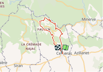

11.6 km | 16.3 km-effort

User GUIDE


FREE GPS app for hiking
 SityTrail
IGN / Geographical institutes
SityTrail World
The world is yours!
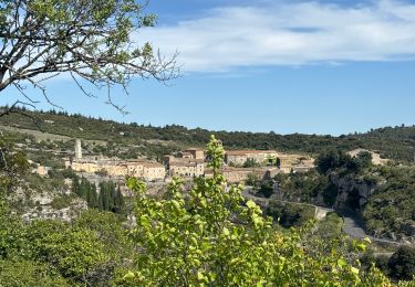
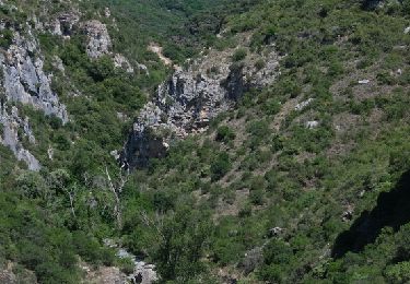
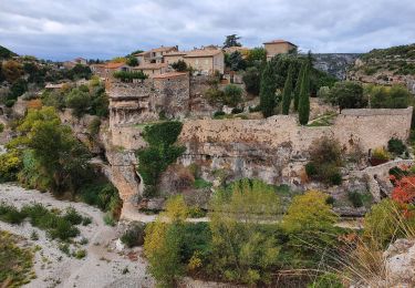
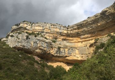
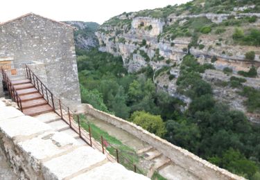
Trail Walking of 12.6 km to be discovered at Occitania, Hérault, Cesseras. This trail is proposed by Ada11.
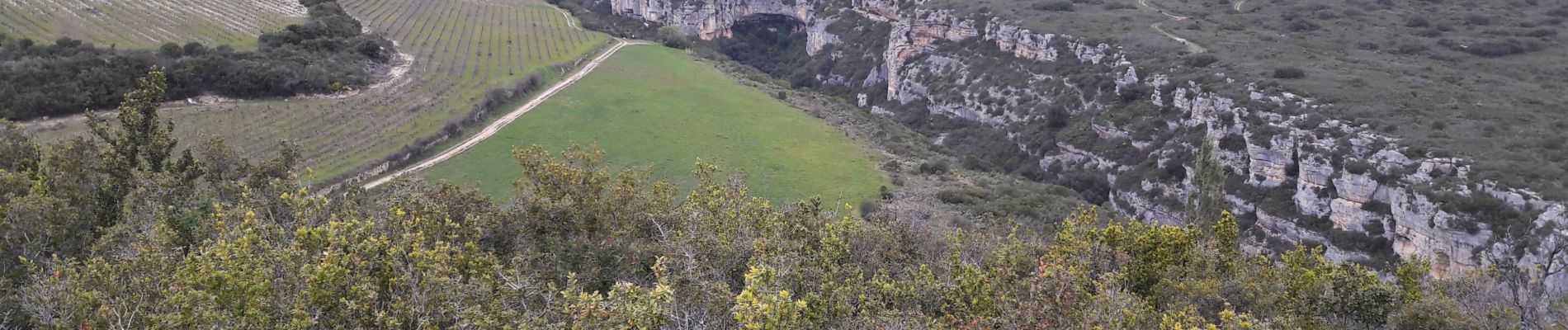
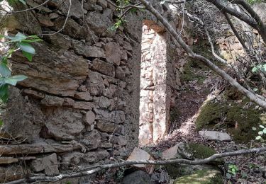
Très chouette. Descendre au moulin, visiter la grotte. Prendre le petit chemin à droite en contrebas de la falaise, entre le moulin et la grotte. Dans l'autre sens prendre le premier petit chemin à gauche.


Walking

sport

Walking

On foot
Walking
On foot
Walking
Walking
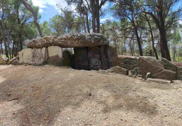
Le top