

MetzGare-PAM

PhilippeC54
User

Length
30 km

Max alt
189 m

Uphill gradient
179 m

Km-Effort
33 km

Min alt
164 m

Downhill gradient
176 m
Boucle
No
Creation date :
2014-12-10 00:00:00.0
Updated on :
2014-12-10 00:00:00.0
--
Difficulty : Easy

FREE GPS app for hiking
About
Trail Mountain bike of 30 km to be discovered at Grand Est, Moselle, Metz. This trail is proposed by PhilippeC54.
Description
Départ gare de MetzPiste cyclable sur 1,3 kmChemin2 passages étroits sous 2 ponts du canal de JouyDu km 9,1 au km 17 : véloroute V50 "Charles le Téméraire"Chemin
Positioning
Country:
France
Region :
Grand Est
Department/Province :
Moselle
Municipality :
Metz
Location:
Unknown
Start:(Dec)
Start:(UTM)
293907 ; 5443479 (32U) N.
Comments
Trails nearby
Saint Quentin


Walking
Medium
(1)
Plappeville,
Grand Est,
Moselle,
France

6.9 km | 9.2 km-effort
1h 59min
Yes
Autour du fort de Plappeville.


Walking
Easy
(1)
Plappeville,
Grand Est,
Moselle,
France

8.9 km | 11 km-effort
2h 55min
Yes

Circuit des sentiers de Queuleu


On foot
Easy
Metz,
Grand Est,
Moselle,
France

4.5 km | 5.2 km-effort
1h 10min
Yes
Circuit Robert Schuman


On foot
Easy
Scy-Chazelles,
Grand Est,
Moselle,
France

3.5 km | 5 km-effort
1h 7min
No
Circuit du Tour du Mont St Quentin


On foot
Easy
Scy-Chazelles,
Grand Est,
Moselle,
France

4.9 km | 6.7 km-effort
1h 31min
No
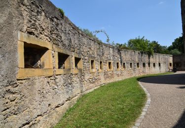
20210723 - METZ - Promenade des remparts - 6 Km


Walking
Very easy
Metz,
Grand Est,
Moselle,
France

5.7 km | 6.6 km-effort
1h 45min
Yes
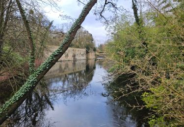
Metz - Les fortifications & 🎅🎄


Walking
Easy
Longeville-lès-Metz,
Grand Est,
Moselle,
France

11.2 km | 12.9 km-effort
2h 41min
Yes
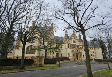
🎅🎄 Noël à Metz


Walking
Easy
Longeville-lès-Metz,
Grand Est,
Moselle,
France

14.5 km | 16.5 km-effort
3h 54min
Yes

Saulny Circuit Panoramique


On foot
Easy
(1)
Saulny,
Grand Est,
Moselle,
France

9.9 km | 13.4 km-effort
3h 2min
Yes


 SityTrail


avec ou sans pluie ?