


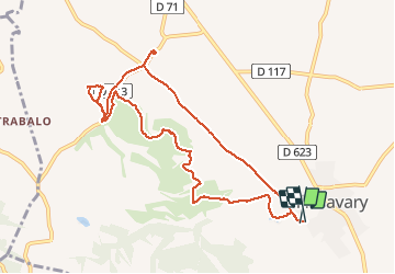

16.9 km | 21 km-effort


User


FREE GPS app for hiking
 SityTrail
IGN / Geographical institutes
SityTrail World
The world is yours!
Trail Walking of 10.6 km to be discovered at Occitania, Aude, Villasavary. This trail is proposed by caccini.
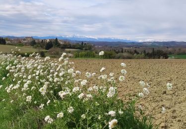
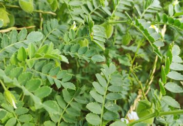
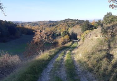
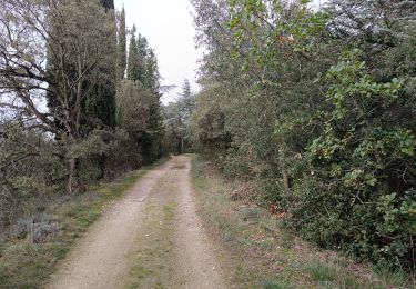
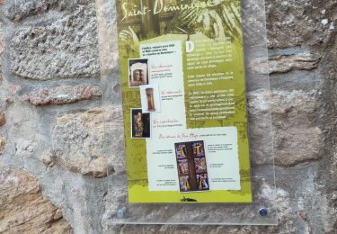
Randonnée autour de Villasavary en suivant une partie du circuit de la boucle des paysages, avec un détour pour découvrir la Chapelle de Besplas.
C'est une randonnée variée, agréable, facile.
Walking
Walking

Walking

Mountain bike
Walking
Walking
Walking
Mountain bike