


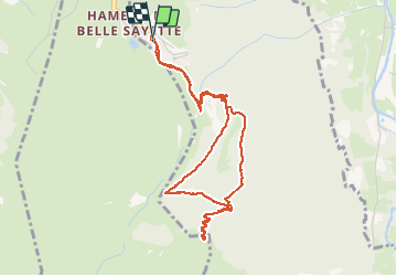


6.4 km | 9.2 km-effort

User


FREE GPS app for hiking
 SityTrail
IGN / Geographical institutes
SityTrail World
The world is yours!
Trail Snowshoes of 5 km to be discovered at Occitania, Hautespyrenees, Génos. This trail is proposed by Forsans.
station - Belvédère de Lapade - de la Forêt- Rocher de Courtalets - val louron station.
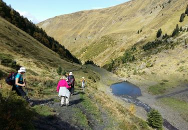
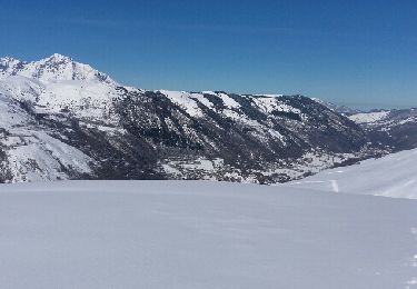
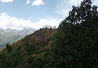
paysages magnifiques sur les montagnes


22 photos in total. Please click on a photo to see them all in the gallery.

Walking

Walking

Walking
Walking
Snowshoes
Walking
Walking
Walking
Walking