


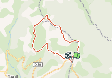

4.3 km | 6.6 km-effort


User


FREE GPS app for hiking
 SityTrail
IGN / Geographical institutes
SityTrail World
The world is yours!
Trail Snowshoes of 8.4 km to be discovered at Provence-Alpes-Côte d'Azur, Maritime Alps, Roubion. This trail is proposed by GrouGary.
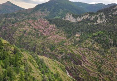
Belle boucle, sans difficulté technique ou sportive. Très bien pour une remise en jambes. Vues splendides sur le Mt Mounier, les Aiguilles de Pelens, la Cime de Giarons...

Snowshoes

On foot

On foot

Walking

Snowshoes

Walking
Walking
Walking
Walking