


23 km | 27 km-effort


User


FREE GPS app for hiking
 SityTrail
IGN / Geographical institutes
SityTrail World
The world is yours!
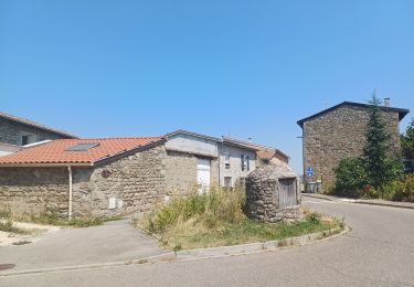
Trail On foot of 10.4 km to be discovered at Auvergne-Rhône-Alpes, Rhône, Taluyers. This trail is proposed by Clubléorando.
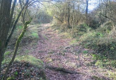
Ballade en boucle au départ du parking de Taluyers (rue du Prieuré). Prendre la direction est puis un chemin sur la gauche qui longe le Fond Cajou. Au hameau de Félin, prendre le sentier à gauche, traverser le Fond Félin et passer devant la ferme du Bois Manié. Contourner-la puis prendre un chemin à droite qui descend au ru Casanova. Traverser-le puis longer-le jusqu'à l'embranchement d'un sentier. Remonter ce sentier à gauche puis traverser les hameaux de Trêve du Gain et Jaloussieux (sud d'Orlienas). Au hameau de Jaloussieux, amorcer le retour par un sentier sur la gauche et longer le petit barrage de Joanney. Remonter au village de Taluyers en traversant les serrres Moverin
Mountain bike
Walking
Other activity
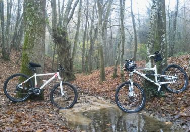
Mountain bike
Walking

Walking
On foot
Walking
Other activity