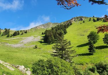
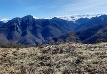
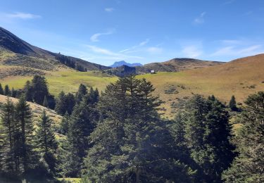
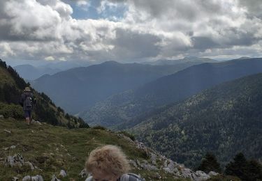
11.7 km | 24 km-effort
Mont Aspet Douly par vallée Nistos
marie-didi
User
Length
9 km
Max alt
1835 m
Uphill gradient
620 m
Km-Effort
17.2 km
Min alt
1360 m
Downhill gradient
620 m
Boucle
Yes
Creation date :
2021-01-14 08:41:08.097
Updated on :
2021-01-14 13:48:41.284
4h00
Difficulty : Medium
FREE GPS app for hiking
About
Trail Snowshoes of 9 km to be discovered at Occitania, Hautespyrenees, Nistos. This trail is proposed by marie-didi.
Description
en raquettes et en boucle
Positioning
Country:
France
Region :
Occitania
Department/Province :
Hautespyrenees
Municipality :
Nistos
Location:
Unknown
Start:(Dec)
Start:(UTM)
293481 ; 4760455 (31T) N.
Comments
Trails nearby
montagne d'Areng depuis la piste forestière après Férrères
Walking
Difficult
Ferrère,
Occitania,
Hautespyrenees,
France
7h 44min
Yes
marrouye depuis le pied du Touroc
Walking
Medium
Sacoué,
Occitania,
Hautespyrenees,
France
15 km | 25 km-effort
6h 12min
Yes
Mountarrouy en boucle depuis la station de Nistos
Walking
Medium
Sarrancolin,
Occitania,
Hautespyrenees,
France
10.8 km | 19.1 km-effort
5h 48min
Yes
Le Cournudère en boucle depuis Bordes de Saube
Walking
Medium
Ferrère,
Occitania,
Hautespyrenees,
France
17.2 km | 34 km-effort
6h 35min
Yes
Cap Nestes
Walking
Medium
Sarrancolin,
Occitania,
Hautespyrenees,
France
4 km | 7.7 km-effort
2h 10min
Yes
soum de templa
Walking
Medium
Ferrère,
Occitania,
Hautespyrenees,
France
16.7 km | 32 km-effort
5h 21min
Yes
nistos Nestea fait G4
Walking
Very easy
Sarrancolin,
Occitania,
Hautespyrenees,
France
7.4 km | 10.2 km-effort
4h 21min
Yes
cap Nesté depuis la Barousse
Walking
Medium
Ferrère,
Occitania,
Hautespyrenees,
France
9.2 km | 19.3 km-effort
6h 46min
Yes
2016-10-08 Nistos - cimetière américain
Walking
Easy
Nistos,
Occitania,
Hautespyrenees,
France
6.3 km | 8.9 km-effort
2h 2min
Yes