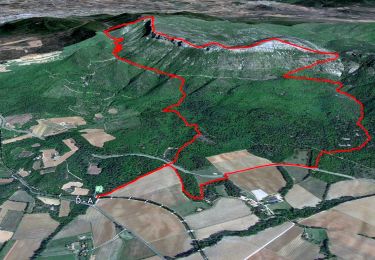
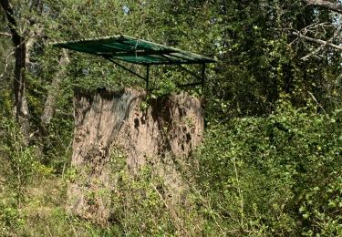
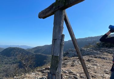
17.3 km | 27 km-effort
pas des iifs
coureurdegarrigue
User
Length
15.8 km
Max alt
859 m
Uphill gradient
622 m
Km-Effort
24 km
Min alt
394 m
Downhill gradient
623 m
Boucle
Yes
Creation date :
2014-12-10 00:00:00.0
Updated on :
2014-12-10 00:00:00.0
5h55
Difficulty : Easy
FREE GPS app for hiking
About
Trail Walking of 15.8 km to be discovered at Provence-Alpes-Côte d'Azur, Var, Pourcieux. This trail is proposed by coureurdegarrigue.
Description
depuis pourcieux
Positioning
Country:
France
Region :
Provence-Alpes-Côte d'Azur
Department/Province :
Var
Municipality :
Pourcieux
Location:
Unknown
Start:(Dec)
Start:(UTM)
725106 ; 4816289 (31T) N.
Comments
Trails nearby
JPS Monts Aurélien-17655561
Walking
Medium
(1)
Pourrières,
Provence-Alpes-Côte d'Azur,
Var,
France
7h 0min
Yes
2022-11-11_17h53m46_pourcieux
Walking
Very difficult
(1)
Pourcieux,
Provence-Alpes-Côte d'Azur,
Var,
France
18.2 km | 28 km-effort
6h 21min
Yes
Mt Olympe et le pas du Titet
Walking
Difficult
Pourrières,
Provence-Alpes-Côte d'Azur,
Var,
France
19.9 km | 32 km-effort
7h 15min
Yes
2024-03-02_17h01m33_La chouette d'Or Pourcieux
Walking
Medium
(1)
Pourcieux,
Provence-Alpes-Côte d'Azur,
Var,
France
7.2 km | 11.9 km-effort
2h 41min
Yes
SityTrail - mont olympe + crête
Walking
Very difficult
(1)
Trets,
Provence-Alpes-Côte d'Azur,
Bouches-du-Rhône,
France
13 km | 21 km-effort
4h 44min
Yes
Pourcieux :Mont Olympe et Pas du Titet
Walking
Very difficult
(1)
Pourrières,
Provence-Alpes-Côte d'Azur,
Var,
France
20 km | 32 km-effort
7h 22min
No
Pourcieux - ¨Pas des Ifs, de la Croix et de Titet - Olympe - Rocher de Onze H...
Walking
Difficult
Pourcieux,
Provence-Alpes-Côte d'Azur,
Var,
France
19.2 km | 30 km-effort
4h 49min
Yes
Croix de pourcieux
Walking
Difficult
Pourcieux,
Provence-Alpes-Côte d'Azur,
Var,
France
9.9 km | 15 km-effort
3h 31min
Yes
Crêtes du Mont Aurélien
Walking
Difficult
Pourcieux,
Provence-Alpes-Côte d'Azur,
Var,
France
19.4 km | 30 km-effort
4h 37min
Yes
Bon parcours, fait en 5h00 par de bons marcheurs.