


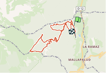

9.6 km | 18.3 km-effort


User


FREE GPS app for hiking
 SityTrail
IGN / Geographical institutes
SityTrail World
The world is yours!
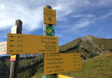
Trail Touring skiing of 12.8 km to be discovered at Auvergne-Rhône-Alpes, Savoy, Plancherine. This trail is proposed by franquen.
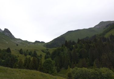
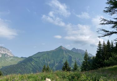
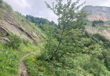
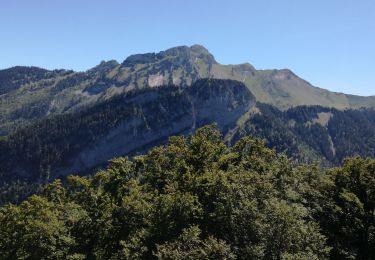
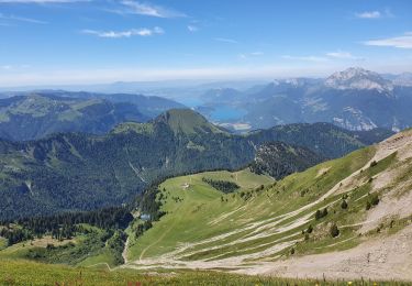
montée un peu raide dans la forêt avec de magnifiques ouvertures sur le paysage. Vue magnifique à 360° au sommet.
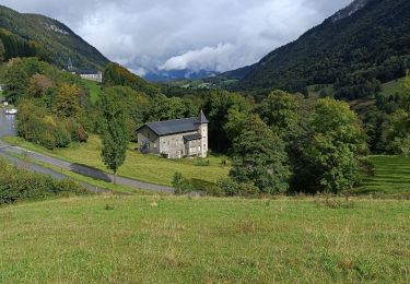
Descente rock and roll dans la forêt puis retour sur une piste plus large pour la dernière moitié .
Walking
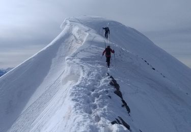
Touring skiing
Walking
Walking
Walking
Walking
Walking
Walking
Other activity