9.3 km | 18.5 km-effort
LA LLOSE PIC DE FIGAMA
MarcOBRECHT
User
Length
9.9 km
Max alt
2039 m
Uphill gradient
354 m
Km-Effort
14.6 km
Min alt
1825 m
Downhill gradient
350 m
Boucle
Yes
Creation date :
2021-01-09 16:39:49.517
Updated on :
2021-01-09 16:59:07.342
--
Difficulty : Medium
FREE GPS app for hiking
About
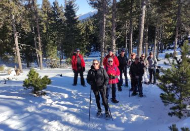
Trail Snowshoes of 9.9 km to be discovered at Occitania, Pyrénées-Orientales, Ayguatébia-Talau. This trail is proposed by MarcOBRECHT.
Description
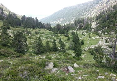
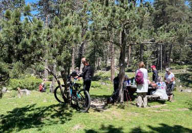
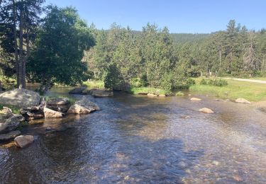
Depuis le col de la llose, revenir par la route et emprunter piste du champ de tir.
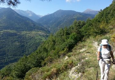
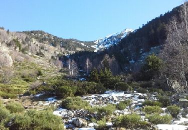
Magnifique vues sur la vallée de la Têt.
Positioning
Country:
France
Region :
Occitania
Department/Province :
Pyrénées-Orientales
Municipality :
Ayguatébia-Talau
Location:
Unknown
Start:(Dec)
Start:(UTM)
429544 ; 4709606 (31T) N.
Comments
Trails nearby
Tour du Cucurucull
Walking
Medium
(1)
Fontpédrouse,
Occitania,
Pyrénées-Orientales,
France
3h 24min
Yes
étang de Planès
Walking
Medium
(2)
Planès,
Occitania,
Pyrénées-Orientales,
France
10.8 km | 19.6 km-effort
3h 54min
No
fontpérouse sentier des canaux et sources chaudes naturelles_T
Walking
Medium
(1)
Fontpédrouse,
Occitania,
Pyrénées-Orientales,
France
13.7 km | 25 km-effort
5h 9min
Yes
Mois pontpedrouse après montée en train jaune
Walking
Very easy
La Cabanasse,
Occitania,
Pyrénées-Orientales,
France
9.2 km | 14.3 km-effort
3h 33min
No
llagonne - Calvet
Walking
Medium
(2)
La Llagonne,
Occitania,
Pyrénées-Orientales,
France
11.2 km | 14.2 km-effort
3h 0min
No
train jaune 01
Walking
Difficult
La Cabanasse,
Occitania,
Pyrénées-Orientales,
France
11.1 km | 15.1 km-effort
5h 3min
No
La borde
sport
Very easy
La Llagonne,
Occitania,
Pyrénées-Orientales,
France
7.3 km | 8.2 km-effort
Unknown
No
LA QUILLANE FAIT petit circuit
Snowshoes
Easy
Matemale,
Occitania,
Pyrénées-Orientales,
France
7.6 km | 9.9 km-effort
2h 19min
Yes
Pla de Barres - Lac des Bouillouses - étangs du Carlit
Walking
Difficult
La Llagonne,
Occitania,
Pyrénées-Orientales,
France
32 km | 44 km-effort
9h 3min
Yes