


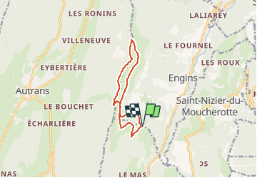

10.9 km | 21 km-effort

User


FREE GPS app for hiking
 SityTrail
IGN / Geographical institutes
SityTrail World
The world is yours!
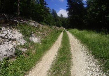
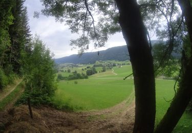
Trail Snowshoes of 10.8 km to be discovered at Auvergne-Rhône-Alpes, Isère, Lans-en-Vercors. This trail is proposed by Emelle.
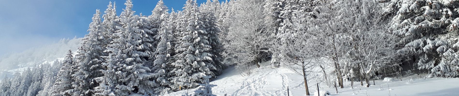
Magnifique circuit à raquettes sans difficulté, avec une météo au top et une excellente neige.
Temps du repas compris dans le temps global.


Walking

Walking

Snowshoes
Walking

Walking

Walking
Walking
Mountain bike
Mountain bike