


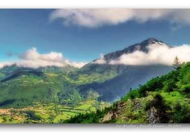
10.6 km | 24 km-effort

User GUIDE


FREE GPS app for hiking
 SityTrail
IGN / Geographical institutes
SityTrail World
The world is yours!
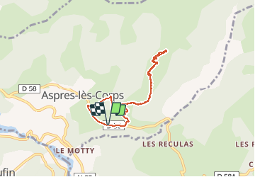
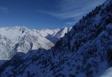
Trail Touring skiing of 6.9 km to be discovered at Provence-Alpes-Côte d'Azur, Hautes-Alpes, Aspres-lès-Corps. This trail is proposed by nadd73.
Départ de Aspres les corps,
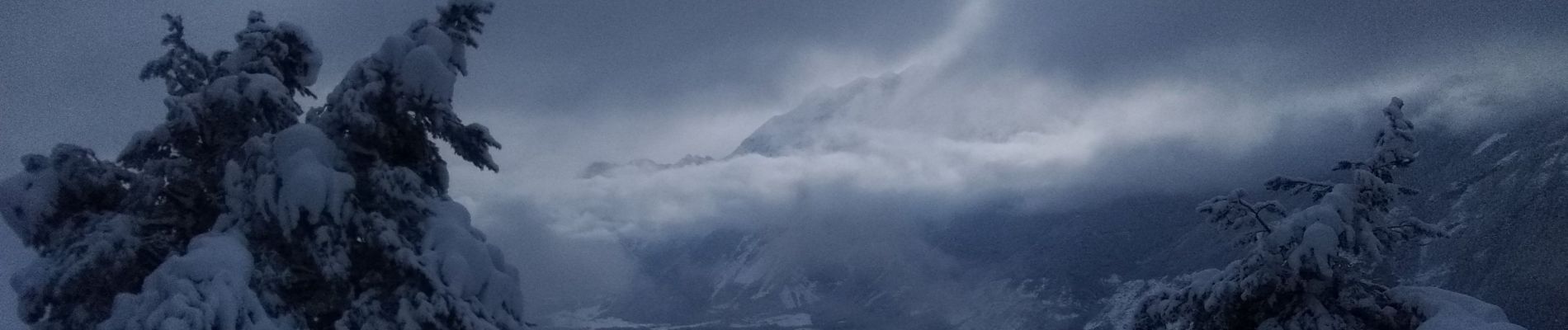
Nous sommes montés Au dessus de la bergerie de Sambus car il a neigé plus de 20cm cette nuit et il faut tracer
..


Walking
Walking
Touring skiing

Walking
Walking

Walking

Walking

Walking
Walking