


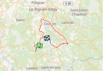

16 km | 19.4 km-effort


FREE GPS app for hiking
 SityTrail
IGN / Geographical institutes
SityTrail World
The world is yours!
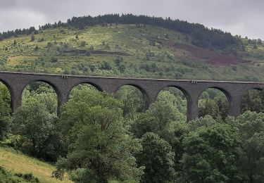
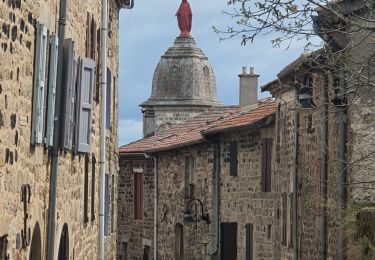
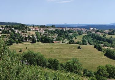
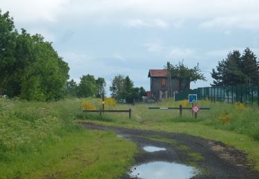
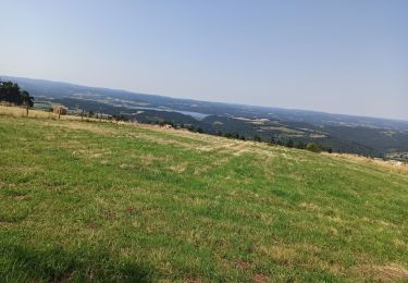
Trail Mountain bike of 43 km to be discovered at Auvergne-Rhône-Alpes, Haute-Loire, Le Brignon. This trail is proposed by evefrancois@orange.fr.
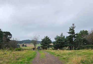
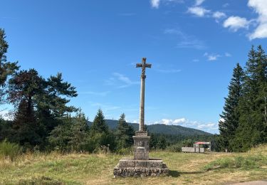
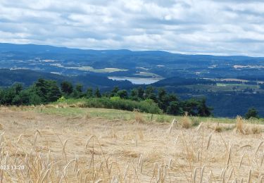
voie verte par tunnels ancienne voie chemin de fer. depart costaros, arrivee Brives charensac , retour aux Salles de st Martin de fugeres . 2 vehicules , pour moduler le retour
Walking
Walking
Walking
Walking
Walking
Walking
On foot
Mountain bike

Walking