


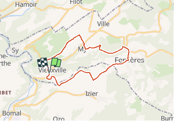

22 km | 28 km-effort


User


FREE GPS app for hiking
 SityTrail
IGN / Geographical institutes
SityTrail World
The world is yours!
Trail Mountain bike of 12.7 km to be discovered at Wallonia, Liège, Ferrières. This trail is proposed by verpoorten.
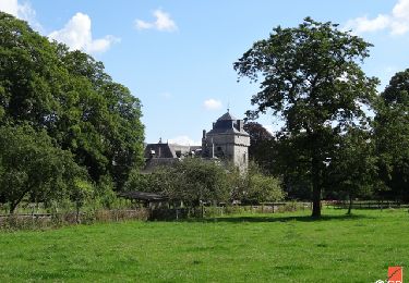
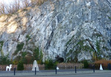
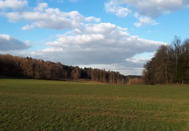
Nous roulons sur la jolie route longeant le vallon de la Lembrée. Grâce au projet LIFE, les flancs de ses collines ont été réhabilités en pelouses calcaires et rappellent l’époque où le pastoralisme rythmait la vie à Logne. En quittant la rivière, l’itinéraire rejoint la ligne de crêtes. Une descente et voilà My, un joli hameau en pierre de calcaire agrémenté de sa ferme-château. La découverte se poursuit quand la balade rejoint les rives de la Lembrée où se blottit le vieux moulin. Nous suivons un chemin rocailleux menant à Ferrières. La jolie place donne envie de s’arrêter, de goûter une glace artisanale, par exemple ! Quittant l’esplanade ombragée, la route sillonne la terre du Condroz. A hauteur d’une ferme, la route devient chemin et aborde les bords de la vallée où se détache de l’horizon le Château de Logne, fier de sa puissance. Une même vision que devaient avoir les troupes de Charles-Quint, avides de vengeance… Retrouvez cette balade ainsi que d'autres autour de châteaux: https://walloniebelgiquetourisme.be/fr-be/3/jaime/patrimoine-et-culture/chateaux/balades-chateaux
Walking

Walking

Walking

Walking

Walking

Walking
Walking

Walking