


Laguna de Ozogoche

gildascb
User


2h15
Difficulty : Very easy

FREE GPS app for hiking
 SityTrail
IGN / Geographical institutes
SityTrail World
The world is yours!
About
Trail Walking of 7 km to be discovered at Chimborazo, Alausí, Achupallas. This trail is proposed by gildascb.
Description
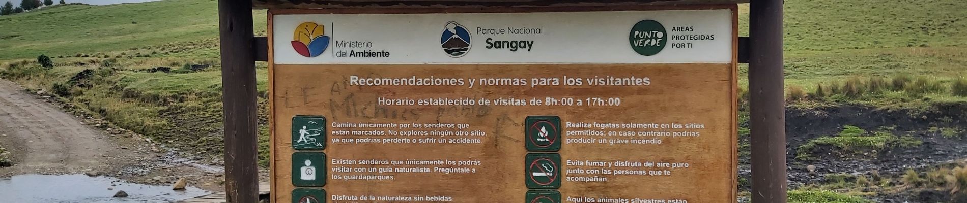
"Lagunas de Ozogoche" es uno de los lugares turísticos de Alausí, este un sistema lacustre que se encuentra en el interior del Parque Nacional Sangay.
Llegamos al sitio con nuestro coche (sin 4x4). La ruta para llegar al sitio es espectacular. Tiene que pagar 2 USD para el parqueadero. Hay un sendero alrededor de la Laguna pero cuando visitamos el sitio, las condiciones no estaban adecuadas para hacer el contorno completo (sendero en turba con demasiado agua).
Puede ser interesante hacer una cabalgata (Hay una comunidad que vive alla y es posible alquilar caballos).
Photos


Positioning
Comments
Trails nearby