


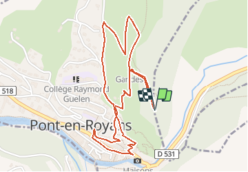


10.1 km | 22 km-effort

User


FREE GPS app for hiking
 SityTrail
IGN / Geographical institutes
SityTrail World
The world is yours!
Trail Walking of 2.9 km to be discovered at Auvergne-Rhône-Alpes, Isère, Choranche. This trail is proposed by crocau.
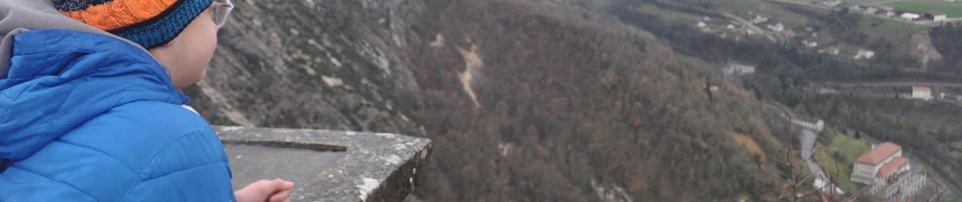
Ballade dans les ruelles médiévales de Pont en Royans. Même par très mauvais temps , cette ballade garde du charme.


29 photos in total. Please click on a photo to see them all in the gallery.

Walking

Walking

Walking

Walking

Walking

Walking

Walking

Walking

Walking