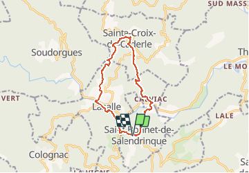

8.8 km | 12.2 km-effort


User


FREE GPS app for hiking
 SityTrail
IGN / Geographical institutes
SityTrail World
The world is yours!
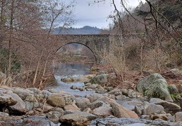
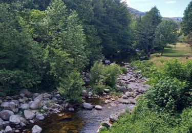
Trail Walking of 13 km to be discovered at Occitania, Gard, Saint-Bonnet-de-Salendrinque. This trail is proposed by genevieve.
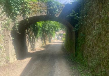
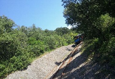
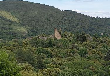
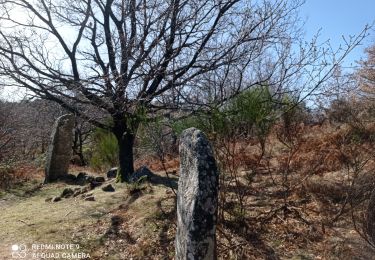
Très belle randonnée, montée régulière jusqu'à la ChapelleSte-Croix-de-Caderle maintenant vouée au culte protestant, belle vue sur les Cévennes.
Walking
Walking

Walking
On foot

Walking
Walking