

Boucle Marolles sur Seine - Brays sur Seine 44 km

chessyca
User GUIDE

Length
44 km

Max alt
82 m

Uphill gradient
240 m

Km-Effort
47 km

Min alt
47 m

Downhill gradient
239 m
Boucle
Yes
Creation date :
2020-12-30 07:07:25.923
Updated on :
2020-12-30 19:44:53.158
10h08
Difficulty : Very easy

FREE GPS app for hiking
About
Trail Walking of 44 km to be discovered at Ile-de-France, Seine-et-Marne, Marolles-sur-Seine. This trail is proposed by chessyca.
Description
Dernière rando de l'année à l'initiative de Thierry
Superbe parcours notamment l'après midi
En cette saison, beaucoup de villages décorés
Positioning
Country:
France
Region :
Ile-de-France
Department/Province :
Seine-et-Marne
Municipality :
Marolles-sur-Seine
Location:
Unknown
Start:(Dec)
Start:(UTM)
502520 ; 5359278 (31U) N.
Comments
Trails nearby

Sortie vélo la tombe


Road bike
Very difficult
(1)
Salins,
Ile-de-France,
Seine-et-Marne,
France

45 km | 50 km-effort
2h 59min
Yes
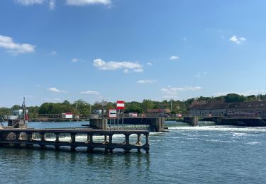
Boucle les deux fleuves


Nordic walking
Montereau-Fault-Yonne,
Ile-de-France,
Seine-et-Marne,
France

18.6 km | 20 km-effort
3h 38min
Yes
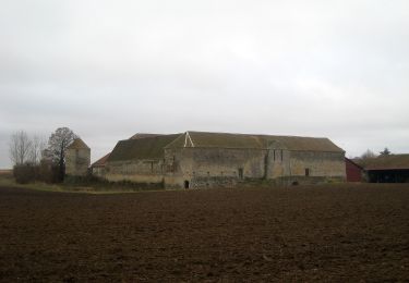
Les Plaines du Sud


On foot
Easy
La Brosse-Montceaux,
Ile-de-France,
Seine-et-Marne,
France

11.1 km | 12.7 km-effort
2h 52min
No
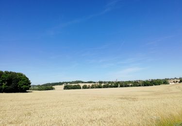
Salin jc à l'ombre R


Nordic walking
Very easy
Salins,
Ile-de-France,
Seine-et-Marne,
France

16.2 km | 19.3 km-effort
5h 34min
Yes
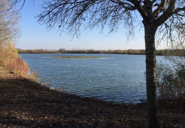
Boucle des deux fleuves


Nordic walking
Very difficult
(1)
Montereau-Fault-Yonne,
Ile-de-France,
Seine-et-Marne,
France

18.5 km | 20 km-effort
3h 17min
Yes
Le bois du Maulny


Walking
Very difficult
Salins,
Ile-de-France,
Seine-et-Marne,
France

17.8 km | 0 m-effort
4h 10min
Yes
Le dimanche 21 Mars


Nordic walking
Medium
Salins,
Ile-de-France,
Seine-et-Marne,
France

19.8 km | 24 km-effort
4h 2min
Yes
JC 03 Misy sur Yonne Les sablières


Walking
Difficult
Misy-sur-Yonne,
Ile-de-France,
Seine-et-Marne,
France

22 km | 23 km-effort
4h 33min
Yes
Essai 316 avec bcp de photos


Walking
Easy
Salins,
Ile-de-France,
Seine-et-Marne,
France

6.8 km | 7.8 km-effort
1h 40min
Yes


 SityTrail


