


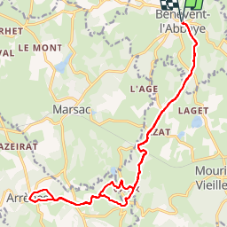

22 km | 28 km-effort


User


FREE GPS app for hiking
 SityTrail
IGN / Geographical institutes
SityTrail World
The world is yours!
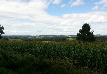
Trail Walking of 22 km to be discovered at New Aquitaine, Creuse, Bénévent-l'Abbaye. This trail is proposed by christian19.
Voie de Rocamadour en Limousin et Haut Quercy.Aller retour avec des passages sur le GR pour le retour.Attention,le balisage est très bien fait, mais seulement dans le sens Nord Sud.
Walking

sport
Bicycle tourism

Walking
Walking

Walking
Walking

Motorbike
Walking