


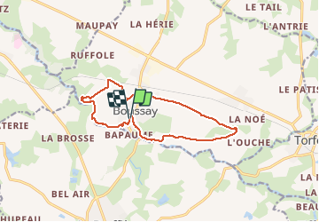

12.1 km | 13.8 km-effort


User


FREE GPS app for hiking
 SityTrail
IGN / Geographical institutes
SityTrail World
The world is yours!
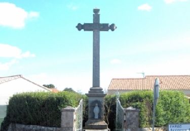
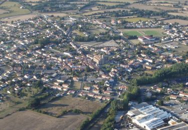
Trail Walking of 12.5 km to be discovered at Pays de la Loire, Loire-Atlantique, Boussay. This trail is proposed by PhilippeLegault.
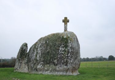
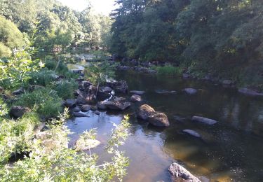
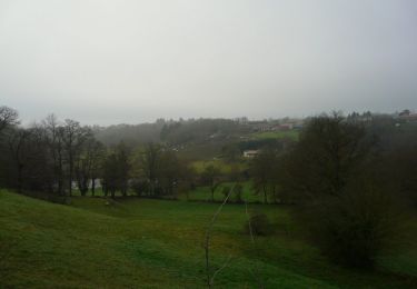
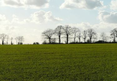
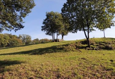
Très belle randonnée en bord de sèvre dans sa partie finale. Beaucoup de goudron dans la première partie. Attention si la rivière est en crue
On foot

Walking
Walking
Mountain bike

Mountain bike
Mountain bike
Mountain bike
Walking
Walking