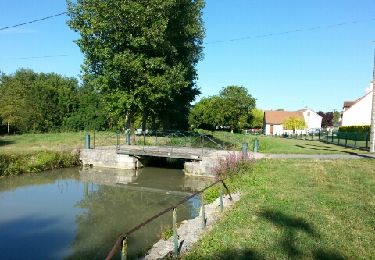
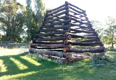
28 km | 31 km-effort
GR41 De Tours (Indre-et-Loire) à Selles-sur-Cher (Loir-et-Cher)
murph
User
Length
146 km
Max alt
200 m
Uphill gradient
1282 m
Km-Effort
163 km
Min alt
73 m
Downhill gradient
1234 m
Boucle
No
Creation date :
2020-12-22 05:39:20.027
Updated on :
2020-12-22 05:42:06.118
27h20
Difficulty : Very difficult
FREE GPS app for hiking
About
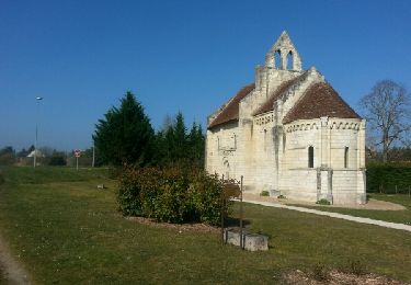
Trail Walking of 146 km to be discovered at Centre-Loire Valley, Loir-et-Cher, Selles-sur-Cher. This trail is proposed by murph.
Positioning
Country:
France
Region :
Centre-Loire Valley
Department/Province :
Loir-et-Cher
Municipality :
Selles-sur-Cher
Location:
Unknown
Start:(Dec)
Start:(UTM)
390602 ; 5236745 (31T) N.
Comments
Trails nearby
selles sur cher à saint aignan par le canal
Walking
Easy
Selles-sur-Cher,
Centre-Loire Valley,
Loir-et-Cher,
France
6h 17min
Yes
chatillon
Walking
Very easy
Selles-sur-Cher,
Centre-Loire Valley,
Loir-et-Cher,
France
16 km | 17.8 km-effort
2h 58min
Yes
De selle sur Cher â gievres
Walking
Very easy
Selles-sur-Cher,
Centre-Loire Valley,
Loir-et-Cher,
France
17.9 km | 19.3 km-effort
3h 20min
Yes
Châtillon sur cher pont canal
Walking
Easy
Châtillon-sur-Cher,
Centre-Loire Valley,
Loir-et-Cher,
France
11.9 km | 13.5 km-effort
2h 52min
Yes
Châtillon sur cher
Walking
Medium
Châtillon-sur-Cher,
Centre-Loire Valley,
Loir-et-Cher,
France
25 km | 28 km-effort
4h 32min
Yes
billy
Walking
Very easy
Billy,
Centre-Loire Valley,
Loir-et-Cher,
France
11.9 km | 12.9 km-effort
2h 51min
Yes
billy
Walking
Easy
Billy,
Centre-Loire Valley,
Loir-et-Cher,
France
19.5 km | 21 km-effort
3h 25min
Yes
selles sur cher
Walking
Very easy
Selles-sur-Cher,
Centre-Loire Valley,
Loir-et-Cher,
France
19.6 km | 21 km-effort
3h 13min
Yes
meusnes
Walking
Very easy
Meusnes,
Centre-Loire Valley,
Loir-et-Cher,
France
12.7 km | 14.5 km-effort
3h 5min
Yes