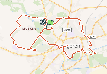

12.6 km | 14.3 km-effort


User GUIDE


FREE GPS app for hiking
 SityTrail
IGN / Geographical institutes
SityTrail World
The world is yours!
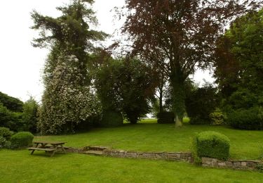
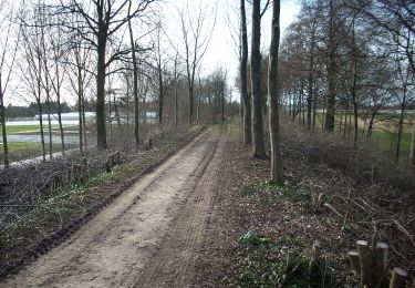
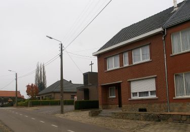
Trail Walking of 14.4 km to be discovered at Flanders, Limburg, Tongeren. This trail is proposed by mumu.larandonneuse.
Beau parcours en 2 boucles.
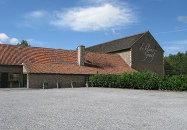
📌 Parking du parc Plinius, Fonteindreef 8.
Dos au parking, départ à gauche pour la boucle de 8 km et à droite pour celle de 6 km.


Walking

On foot
On foot
On foot