


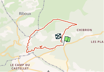

14.8 km | 19.6 km-effort

User


FREE GPS app for hiking
 SityTrail
IGN / Geographical institutes
SityTrail World
The world is yours!
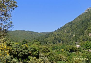
Trail Walking of 16 km to be discovered at Provence-Alpes-Côte d'Azur, Var, Signes. This trail is proposed by Christiancordin.
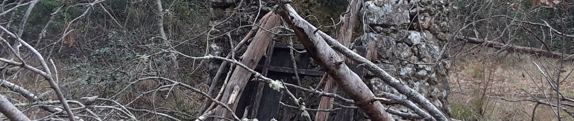
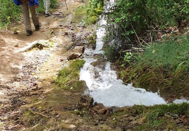
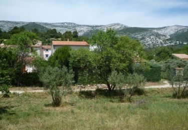
vallon des Marseillais-ruine du Mounoï-grotte du Mounoï-mémorial de Signes-torrent asséché-bastide Château Renard-plaine du romanil


Walking
Walking

Walking
Mountain bike

Walking
Walking

Walking

Walking

Mountain bike