


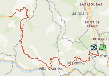

12.7 km | 25 km-effort


User


FREE GPS app for hiking
 SityTrail
IGN / Geographical institutes
SityTrail World
The world is yours!
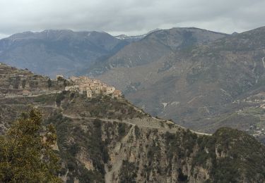
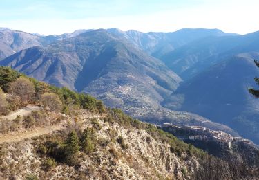
Trail Mountain bike of 43 km to be discovered at Provence-Alpes-Côte d'Azur, Maritime Alps, Tournefort. This trail is proposed by franquen.
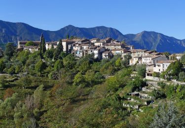
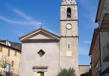
bel itineraire sur route avec beaux villages. un peu trop foid et gelé en decembre
On foot

On foot
On foot
Walking
Walking
Walking
Walking
On foot
Walking